The Met Office has confirmed that London will experience its first significant rainfall since June 22, with showers expected late Tuesday into the early hours of Wednesday and again on Thursday. Deputy chief forecaster Mike Silverstone told Metro that the rain will be 'meaningful,' offering some respite from a summer marked by back-to-back heatwaves and minimal precipitation.
Forecast Details and Timing
According to Silverstone, 'Thursday will be a day of heavy showers across much of the UK, while some of these will be heavy, some areas will miss them altogether.' By midweek, many regions that have largely missed out on rain recently are likely to see wet weather. The Met Office's official Twitter account warned of 'outbreaks of showers, with a risk of thunder and some intense downpours mixed in.'
Thursday's London forecast indicates rain from 11am to 9pm, with a 60% chance of precipitation at 4pm. This percentage reflects the likelihood of at least 0.1mm of rain in a given area at that time, based on dozens of models. It does not mean it will rain for 60% of the hour or that 60% of London will be drenched.

Impact of the Dry Spell
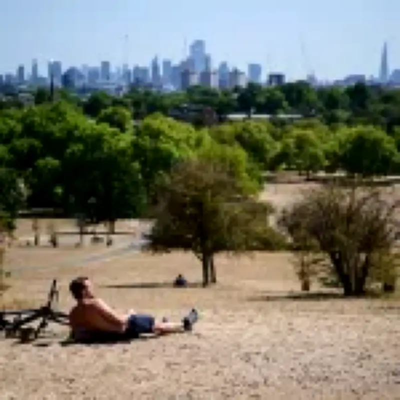
The upcoming rain will be a welcome change for a city where temperatures reached 38.1°C earlier this month during the fifth heatwave of the year. That blistering temperature was recorded in Kew Gardens, making 2026 the year with the most 37-degrees-or-above days on record in the UK. The dry conditions have turned parks into tinderboxes, made streets smell, and left residents struggling to sleep.
However, meteorologist Jim NR Dale, founder of British Weather Services, cautioned that the rain may not be enough to alleviate the drought. 'The Tuesday-Wednesday rain won’t amount to much, about 4mm max in the south and Midlands and 1mm in London,' he told Metro. 'Useless in the grand scheme of things.'
Long-Term Climate Outlook
Dale also warned that this summer's heat is part of a broader trend. He attributed the scorching conditions to a 'heat dome' of stubborn high pressure over Europe and a 'super El Niño' weather system, both exacerbated by climate change. 'Long, dry summers and long, wet winters' will become the new norm, he said, describing it as 'a Mediterranean climate in all but name.' He added, 'Yes, burning fossil fuels is the culprit.'
Looking ahead, the Met Office forecasts fewer showers on Friday before drier weather returns over the weekend. Next week, however, is expected to bring further rain as low pressure takes charge. Silverstone noted, 'As some of these showers could be intense, there is a chance of some surface water flooding as the rain falls on very dry and hard ground.'