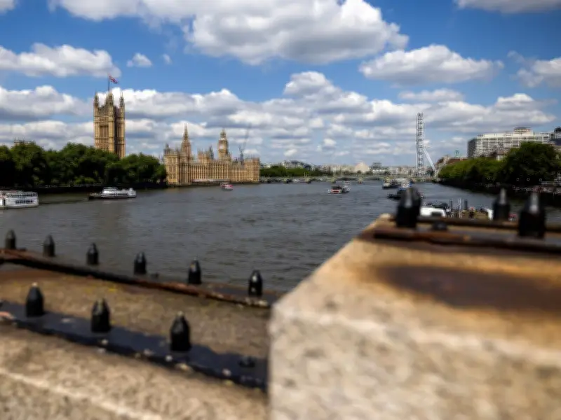
The Environment Agency has issued a flood warning for five London postcodes near the River Thames, with high tides expected to cause possible flooding on Thursday, July 16, between 2:45am and 6:45am.
Affected Postcodes
The warning covers postcodes SW14, SW15, TW1, TW9, and W4. Specific locations at risk include Putney Embankment (SW15), Chiswick Mall and Strand on the Green (W4), Thames Bank at Mortlake (SW14), Ranelagh Drive (TW1), Friars Lane and Water Lane (TW9), Riverside and The Embankment at Twickenham, and the Towpath below Teddington Lock.
No Property Flooding Expected
Despite the warning, the Environment Agency stated that flooding of properties is not expected. The forecast high tide at Richmond is 4.60 mAOD at 4:45am on July 16. The river flow at Teddington Weir is 10 cubic metres per second and is steady.

Commuters Advised to Avoid Floodwater
The alert advised commuters to take care and avoid walking, cycling, or driving through flood water. The agency is closely monitoring the situation and expects flows to remain steady for the next few days.
Flood Warning Zone
An attached map shows the flood warning zone largely follows the River Thames, starting at Putney Bridge and winding out to Teddington. The zone covers parts of Teddington, Richmond, Isleworth, Brentford, Chiswick, Barnes, Fulham, and Putney near the river. Some Thames tributaries, including the River Crane and River Brent, are also covered.