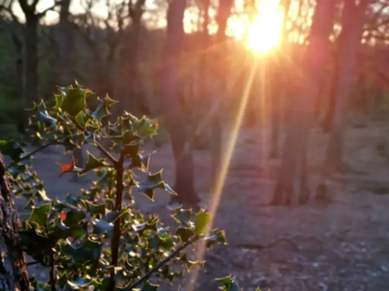
Croham Hurst in South Croydon offers a woodland walk that takes less than an hour, featuring sweeping views from Breakneck Hill, remnants of Stone Age settlements, and a variety of wildlife. The site, which borders Surrey, provides a natural escape within easy reach of the city, according to a report by News.
Woodland Walk with a Daunting Name
The walk through Croham Hurst is suitable for walkers of all abilities, though the aptly named Breakneck Hill may present a challenge for some. As visitors set off, they pass a mix of beech trees, tall cherry, oak, and silver birch, creating an ever-changing canopy. The woodland floor is also a prime spot for spotting a variety of fungi at this time of year.
The summit of Breakneck Hill, covered in heather and pine, offers a real sense of escape from urban surroundings, with sweeping views towards Purley and Surrey to the south. The area is best known for its golf course, but the walking trail provides an alternative for those not interested in teeing off.

History and Wildlife at Croham Hurst
History enthusiasts will find plenty to appreciate, as the site boasts a geological character and history stretching back to the Stone Age. The remains of a round barrow were uncovered on Breakneck Hill, along with remnants of hut circles, neolithic flints, and pre-historic burial mounds.
Nature lovers are also well catered for, with the woodland serving as a haven for a variety of birds throughout the year. Some lucky visitors may even spot one of the shy resident deer.
Visitor Experiences and Getting There
One AllTrails user described the walk as: "Great trail - not too hilly but just enough of a challenge. Great fun for dogs. Really beautiful woodland." Another added: "A little oasis. Easy trail to follow, skirts the golf course. A woodland trail with some open spaces, and benches to enjoy the views."
To reach Croham Hurst Woodland on public transport from elsewhere in London, take a Southern or Thameslink service from London Bridge to South Croydon. From there, the 412 bus will take you to Elmfield Way, where you can enter the woodland. A full route map is available on AllTrails.com, including starting points, timings, and notes on difficulty and elevation.