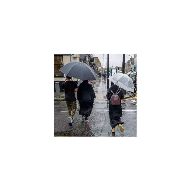
More than 100 flood alerts are currently active across England as the country recovers from a week of heavy downpours, with Storm Claudia set to bring further disruption. While London is experiencing a brief respite over the weekend, the capital is braced for another nine days of rain starting from Wednesday, November 19.
Where are the flood warnings now?
The Environment Agency has issued a significant number of warnings, with the Midlands, the North, and the South West of England being the most severely affected regions. There are currently three more serious flood warnings in place, indicating that flooding is expected and immediate action is required. One is located in Keswick, with two others in Carlisle.
For Londoners, the closest alert is currently on the Upper River Colne and Radlett Brook in neighbouring Hertfordshire. A flood alert means that flooding is possible and residents should be prepared.

Storm Claudia's impact on major cities
The effects of the recent relentless rain are becoming increasingly evident. Major cities across England are on high alert. Flood alerts have been issued for the Upper Ouse in York, while the Trent and Lower Derwent alerts impact both Derby and Nottingham.
Residents in Birmingham and the Black Country are advised to monitor the situation due to alerts on the Upper Thame and Rea. Similarly, Leicester is affected by alerts for the River Soar.
What to expect from Storm Claudia
The Met Office has officially commented on the incoming storm, stating: "Storm Claudia is expected to bring heavy rain during Friday into early Saturday that may lead to some flooding and disruption."
The forecaster provided further detail, explaining that the storm, initially named by the Spanish Meteorological Service, will push rain northwards through Thursday evening. This rain is forecast to become prolonged and heavy throughout Friday, only slowly easing by Saturday morning. The heavy rain will be accompanied by strong easterly winds.
Widespread accumulations of 30-50 mm are predicted, with some areas seeing 60-80 mm and potentially over 100 mm on east-facing hills in southeast Wales. Given the already saturated ground from recent wet weather, this is likely to lead to significant surface water and river flooding impacts. The Met Office has issued separate amber warnings for areas where the likelihood of impacts is higher.
You can check all the flood alerts in your immediate vicinity by using our interactive map to stay informed and prepared.