The UK is shivering under a blast of Arctic air, with forecasters warning of snow, icy roads, and a significant risk to public health. The Met Office has confirmed a ‘notable change’ to markedly colder conditions is now underway, a stark contrast to the recent heavy rain and flooding brought by Storm Claudia.
Widespread Health Warnings and Disruption
In response to the severe cold, the UK Health Security Agency (UKHSA) has activated a series of cold health alerts. An amber alert is in force for North West and North East England from today until 8am on Friday. A less severe, but still significant, yellow alert covers the Midlands and all areas south, with officials warning of a potential ‘rise in deaths’, particularly among those aged over 65 or with existing health conditions.
The RAC Breakdown service is anticipating a surge in callouts, with spokesperson Alice Simpson stating they expect around 1,000 more breakdowns per day. She highlighted the combined danger of icy roads and wet leaves, which create ‘very slippery’ conditions.

Where and When to Expect Snow
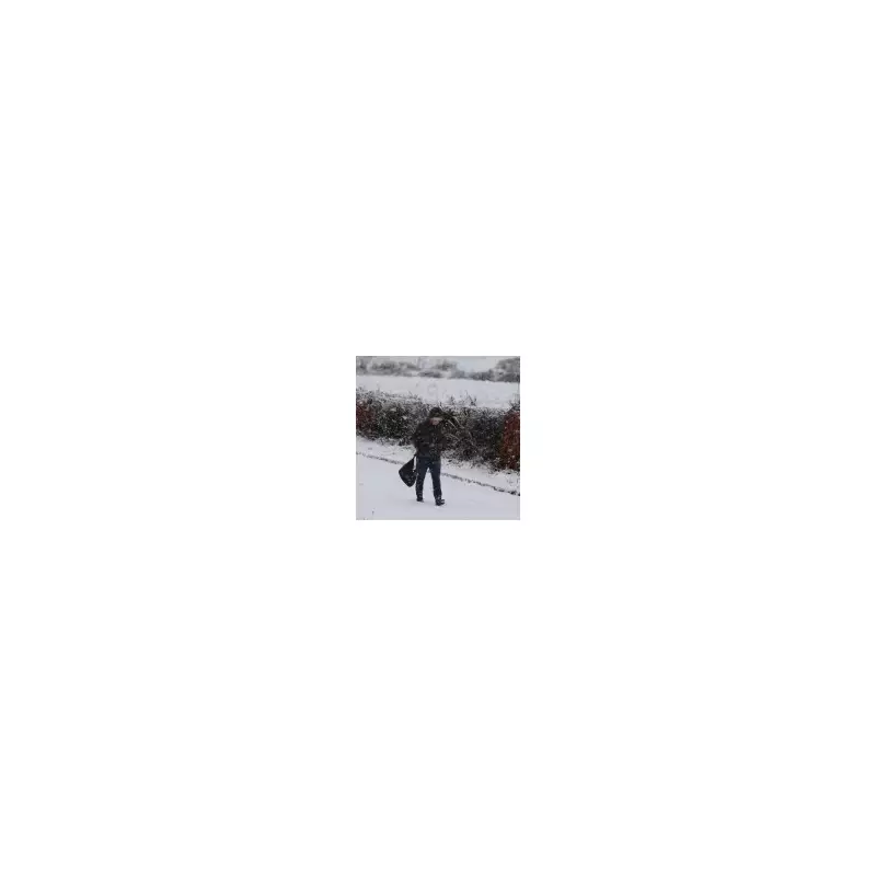
The most significant snow is expected in northern parts of the UK. The Met Office has issued a snow and ice warning for Wednesday and Thursday, covering North East England, the Scottish Borders, and Yorkshire and the Humber.
Met Office meteorologist Alex Burkill explained the cause: ‘There is an area of low pressure that’s pushing its way southwards as we go through Tuesday night and into Wednesday... Then once that clears away, we just have this brisk northerly wind that’s piling down, the Arctic air coming through.’
According to the forecast, snow showers feeding inland from the North Sea could lead to accumulations of 2-5 cm at low levels and 5-10 cm on hills above 100 metres. On terrain above 300 metres, some areas could see a significant 15-20 cm of snow, which may block roads and isolate rural communities, leading to travel delays and possible power cuts.
A Prolonged Cold Snap and the Christmas Question
This cold spell follows the coldest night of the season so far, when temperatures plunged to -7°C in Tulloch Bridge, Scotland on Saturday night. The Met Office forecasts that the coming days will be ‘markedly colder’ than last week, with a ‘harsh frost’ expected by the week's end.
Met Office forecaster Dan Holley attributed the shift to a ‘cold northerly flow from the Arctic’, replacing the recent warmer, wetter weather. He noted that daytime temperatures will struggle to get beyond single figures across the country, with a significant wind chill factor making it feel even colder.
This early taste of winter has inevitably raised questions about the prospects for a white Christmas. Jim N R Dale, a senior meteorologist at the British Weather Services, suggested that the current Arctic pattern ‘lifts the chances’ compared to recent years, though he cautioned that the outcome for December 25th remains highly uncertain and is still statistically unlikely for most of the UK.