New Research Reveals Global Sea Levels Underestimated by Up to 150cm
Global sea levels have been significantly underestimated due to flawed modeling techniques, according to new research published in the prestigious journal Nature. The study suggests that ocean levels are far higher than previously understood, with potentially catastrophic implications for coastal settlements around the world.
Major Discrepancies in Sea Level Measurements
The comprehensive analysis examined 385 pieces of peer-reviewed scientific literature released between 2009 and 2025, comparing commonly assumed sea levels with actual measured coastal data. Researchers discovered that globally, ocean levels are an average of 30 centimeters higher than previously believed. However, in critical regions of the global south, including southeast Asia and the Indo-Pacific, the discrepancy is far more alarming—sea levels may be 100 to 150 centimeters higher than earlier estimates.
Dr. Philip Minderhoud of Wageningen University in the Netherlands, who co-authored the study with PhD researcher Katharina Seeger, explained the fundamental problem: "More than 90% of these studies did not use local, direct measurements of sea levels but instead used land elevation measurements referenced against global geoid models."

The Geoid Model Problem
Geoid models provide estimates of global sea levels based on the Earth's gravity and rotation, but they fail to account for crucial local factors. "In reality, sea level is influenced by additional factors such as winds, ocean currents, seawater temperature and salinity," Minderhoud emphasized.
The research team found that sea levels were undervalued by an average of 24 to 27 centimeters depending on the geoid model used, with some discrepancies reaching staggering extremes of 550 to 760 centimeters in specific locations.
Implications for Coastal Communities
The findings have profound implications for climate change planning and coastal management. According to the new calculations, following a relative sea level rise of just one meter, approximately 37% more coastal areas will fall below sea level than previously projected. This could affect up to 132 million individuals worldwide.
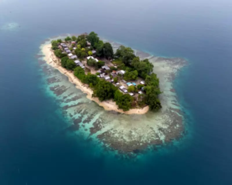
"If sea level is higher for your particular island or coastal city than was previously assumed, the impacts from sea level rise will happen sooner than projected before," warned Minderhoud. The island of Toruar in eastern Papua New Guinea serves as a stark example of communities already threatened by rising waters.
Challenging Established Climate Assessments
The researchers describe the discrepancy as an "interdisciplinary blind spot" and express concern that a significant proportion of the studies analyzed—which they believe contain inaccurate data—are referenced in the most recent climate change reports published by the UN Intergovernmental Panel on Climate Change (IPCC).
The IPCC currently estimates that by 2100, sea levels may rise by 28 to 100 centimeters, but this new research suggests those projections may need substantial revision based on more accurate baseline measurements.
Call for Methodological Reevaluation
The study provides ready-to-use coastal elevation data integrated with the latest sea level measurements and calls for urgent re-evaluation of existing coastal hazard study methodologies. This is crucial to ensure that climate change policies and adaptation strategies are accurately informed by the best available science.
As coastal communities worldwide face increasing threats from rising seas, this research highlights the critical importance of accurate measurement and modeling in developing effective responses to one of the most pressing challenges of our time.