An unprecedented heatwave has gripped Israel, shattering temperature records for late November with mercury levels climbing more than 10°C above seasonal averages. The extreme weather event peaked over the weekend, delivering sweltering conditions across the country while other parts of the world faced their own weather crises.
Record-breaking temperatures across Israel
The heatwave reached its intensity on Friday and Saturday, with low-lying regions consistently experiencing temperatures between 30°C and 35°C, while some local areas exceeded 35°C. This comfortably surpassed Israel's previous record for the latter third of November, which stood at 34.9°C.
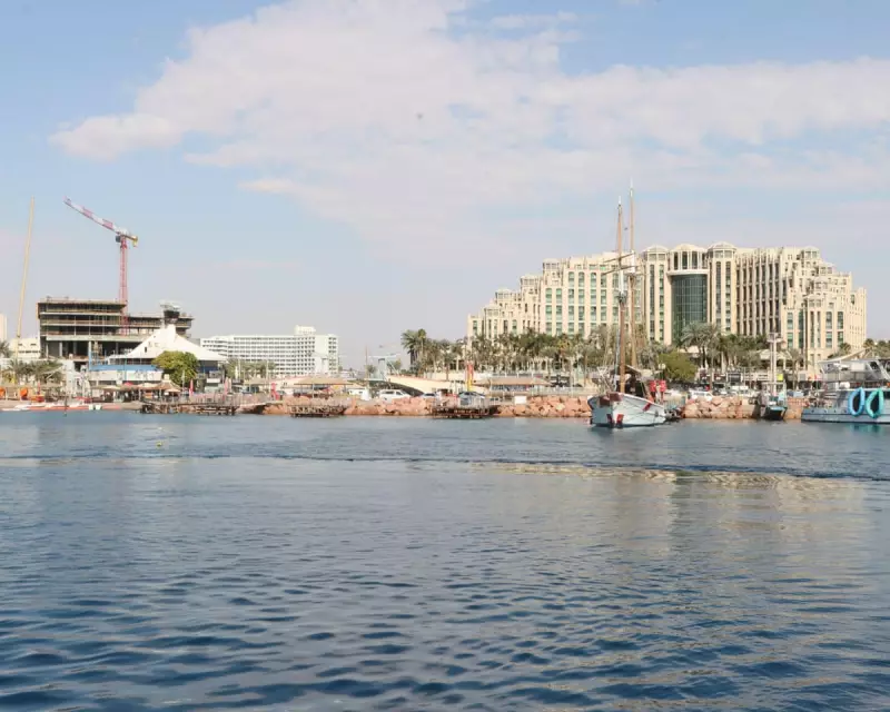
On Friday, the central region near Tel Aviv felt the heat acutely when Beit Dagan recorded 36.2°C - a remarkable figure given the area's average November high of approximately 24°C. The following day saw the southern city of Eilat on the Red Sea coast reach a scorching 37.3°C, dramatically exceeding its typical November average of 27°C.

Even higher altitude areas experienced unusually warm conditions, though less extreme than the low-lying regions. Jerusalem, situated at over 700 metres above sea level, reached around 27°C compared to its normal November high of 19°C.
Global weather extremes intensify
Meanwhile, Vietnam's south-central regions have been battered by relentless rainfall during their rainy season, with some areas receiving nearly 2 metres of precipitation - equivalent to the region's annual average. The catastrophic downpours have triggered severe flooding and landslides, causing widespread devastation.
The human toll has been significant, with at least 90 confirmed fatalities and hundreds of thousands of buildings either destroyed, damaged or left without electricity. Infrastructure has suffered greatly, including a suspension bridge over the Da Nhim River that was swept away by powerful currents.
Agricultural losses have been equally devastating, with preliminary estimates indicating approximately 3 million animals perished and 80,000 hectares of crops destroyed, dealing a major blow to the local farming industry.
Cyclone threat down under
In Australia, authorities are preparing for the arrival of Severe Tropical Cyclone Fina, expected to make landfall in Western Australia's Kimberly region. The storm developed in the Timor Sea last week before tracking south-west along the Northern Territory coast.
Darwin felt Fina's impact on Saturday when the cyclone passed at strength equivalent to a Category 2 hurricane, generating winds exceeding 85mph that damaged trees, properties and power lines. Darwin Airport recorded 168mm of rainfall during the event.
Fina has since intensified to Category 3 hurricane equivalent and is forecast to deliver between 100mm and 150mm of rain across northern Kimberly. Residents have been warned about potential flash flooding and dangerous winds, though meteorologists predict the system will weaken as it moves westward along the Kimberley coast, potentially dropping below cyclone strength by Tuesday morning.
Adding to the global weather concerns, Fiji remains under a major flood alert as a trough of low pressure continues to linger over the islands. Forecasters predict persistent heavy rainfall throughout the week, with some areas potentially receiving over 100mm of precipitation, raising concerns about flash flooding that could inundate low-water bridges and crossings.