The Met Office has issued a warning that heatwaves could continue into September, with its monthly forecast indicating above-average temperatures and potential hot spells, particularly in the south. This comes as the BBC predicts the year's sixth heatwave for next week, adding to a summer of record-breaking heat.
Drought conditions deepen
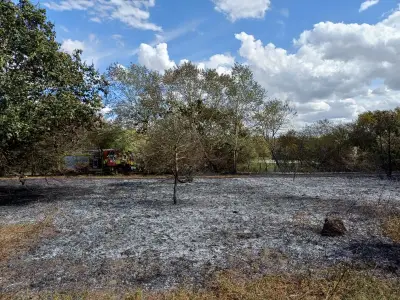
The warning coincides with growing concerns over drought conditions across London and much of the country. Thames Water reported that water storage levels have dropped by 15 per cent in just one month, prompting urgent calls for water conservation. Martin Padley, Water Director at Thames Water, emphasized the severity: "It's been bone dry, we've not been able to abstract an awful lot of water."
Despite the low storage, Padley reassured the public that taps are unlikely to run dry, but stressed that "every drop counts" during this period. The company has already imposed a temporary hosepipe ban since Thursday, July 23, which remains in effect. Other water suppliers, including Affinity Water covering parts of West London and Essex and Suffolk Water in East London, have followed suit with similar restrictions.

Health alerts and temperature spikes
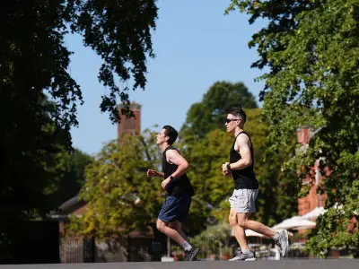
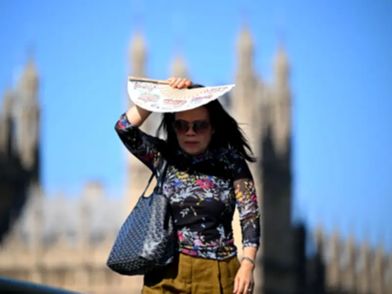
The UK Health Security Agency (UKHSA) has issued amber heat-health alerts for London, the East Midlands, East of England, and South East, which were in place until the morning of Wednesday, August 5. These alerts were triggered by temperatures reaching up to 35 degrees Celsius (95 degrees Fahrenheit) in the southeastern and eastern regions, as seen in the recent heatwave captured in photographs of Londoners using hand fans to cool off on July 29.
The Met Office's monthly forecast reads: "Temperatures will probably be above average and some spells of hot weather and heatwaves are possible, especially in the south." It also predicts little rainfall, which is a concern for a region already under drought conditions.
London's immediate weather outlook
For the coming days, Londoners can expect a mix of conditions. Today (August 5) will see a few possible morning showers, quickly clearing to a dry day with plenty of sunshine. A strengthening westerly breeze will make it feel noticeably cooler than recent days, with a maximum temperature of 26C. Tonight will remain dry with clear skies and a minimum temperature of 14C, offering a more comfortable night.
Tomorrow (Thursday, August 6) is forecast to be largely dry with spells of sunshine, though possibly hazy at times. Temperatures will be around average for early August, but again much cooler than of late, with a maximum of 23C.
From Friday (August 7) to Sunday (August 8), dry and bright conditions are expected on Friday and Saturday, with temperatures trending upwards again. There is a very small risk of showers on Sunday, but most areas will stay dry and warm.
Long-term outlook and implications
The Met Office's longer-range forecast suggests that the risk of heatwaves will persist into September, which could exacerbate the drought situation. With little rainfall predicted, the pressure on water resources is likely to continue. The combination of high temperatures and low water storage presents significant challenges for agriculture, public health, and daily life in the capital.
As Londoners brace for potentially more hot weather, authorities urge everyone to use water wisely and stay informed about health alerts. The situation remains fluid, and further updates from the Met Office and water companies are expected.