The Met Office has warned that the UK should brace for a series of storms and increased rainfall this autumn and winter, driven by an 'unprecedented' El Nino event. This follows a scorching summer marked by extreme heat and drought conditions, with new record temperatures across the country. A sixth heatwave could also occur before the end of summer, according to forecasters.
El Nino's impact on UK weather
El Nino, which occurs every three to seven years, pushes up worldwide temperatures by shifting ocean winds. The phenomenon could raise sea temperatures in the tropical eastern Pacific by 0.5°C above the long-term average, causing a knock-on effect on global rainfall and average temperatures. The Met Office forecasts that the natural warming of sea temperatures will reach more than 3°C in the coming months, making this year's weather front 'the largest since the 19th century.'
This creates a heightened risk of drought in the tropics, southern Africa, and north-east Australia, while north-western Europe, including the UK, is likely to experience wetter and stormier conditions in the coming autumn and early winter, the forecaster said.

Unprecedented event, says Met Office
Professor Adam Scaife, the Met Office's head of long-range forecasting, said: 'We should be clear that this is an unprecedented event. I have never seen an El Nino signal this intense in our forecasts.' He added: 'A typical El Nino leads to an equatorial Pacific sea-surface temperature rise of between one to 2°C, with 2°C being a really big event. This implies that if the forecast is accurate – and other forecast systems show similar extreme values – then 2026 will far exceed our recent experience of El Nino and its worldwide climate influences.'
2027 could be warmest year on record
If 2026 has felt sweltering so far, 2027 could top that as it is set to become the warmest year on record. Most of England and Wales are in drought after the heatwave summer, with water resources dwindling, hitting reservoirs, wildlife, crops, and emergency services tackling back-to-back wildfires. The situation led Prime Minister Andy Burnham to call an emergency Cobra meeting last week. He said: 'We might be in for a wet autumn and winter straight after this, because of El Nino and some of the issues there, which was reported to Cobra.'
Dr Nick Dunstone, the Met Office science fellow, said: 'During large El Nino events significantly more heat is released from the ocean to the atmosphere leading to an increase in global average temperature, particularly in the calendar year following the winter peak of the El Nino. Hence, 2027 is very likely to replace 2024 as the warmest year on record and be another year to temporarily exceed plus 1.5°C above the pre-industrial period.'
Heavy rainfall and flooding risks
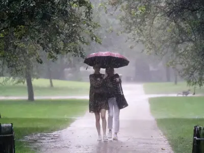
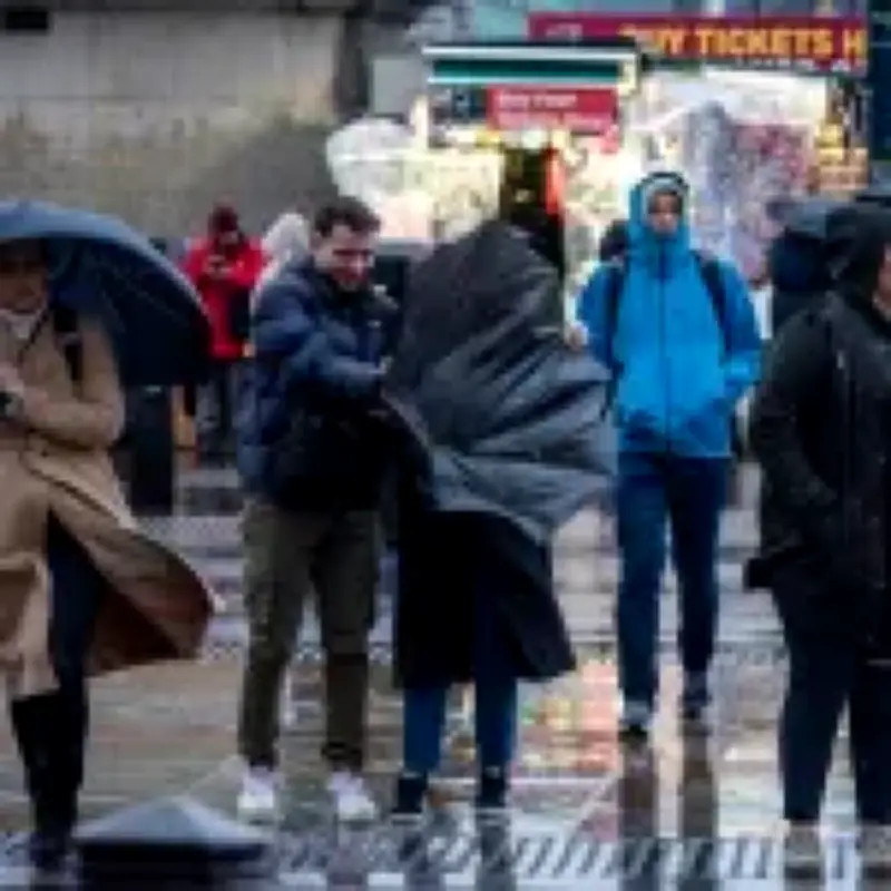
The extreme weather pattern also brings heavy rainfall, risking flooding, which parts of the country have already experienced this season. Parts of Lancashire recorded their wettest conditions in the last 24 hours on Thursday night, with 52.5mm of rain falling in Morecambe – around a third of the region's rainfall total that usually lands between June 1 and August 18. Pevensey Bay in East Sussex was also swept by heavy rain, with 32mm recorded over the last 24 hours, according to the Environment Agency.
The sudden heavy rainfall this week sparked fears of flash flooding as the water has been hitting parched, dry, hard ground. Despite the sudden wet conditions, it could take months of steady rainfall for the drought to clear.