London is set to receive six days of rain before the end of August, bringing relief after the capital's driest summer in centuries. The Met Office forecasts show significant rainfall starting Tuesday, August 18, and continuing through the month, with temperatures dropping from the year's high of 38.1C to around 20C.
Rainfall Dates and Temperatures
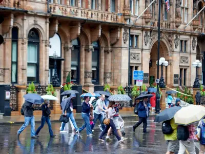
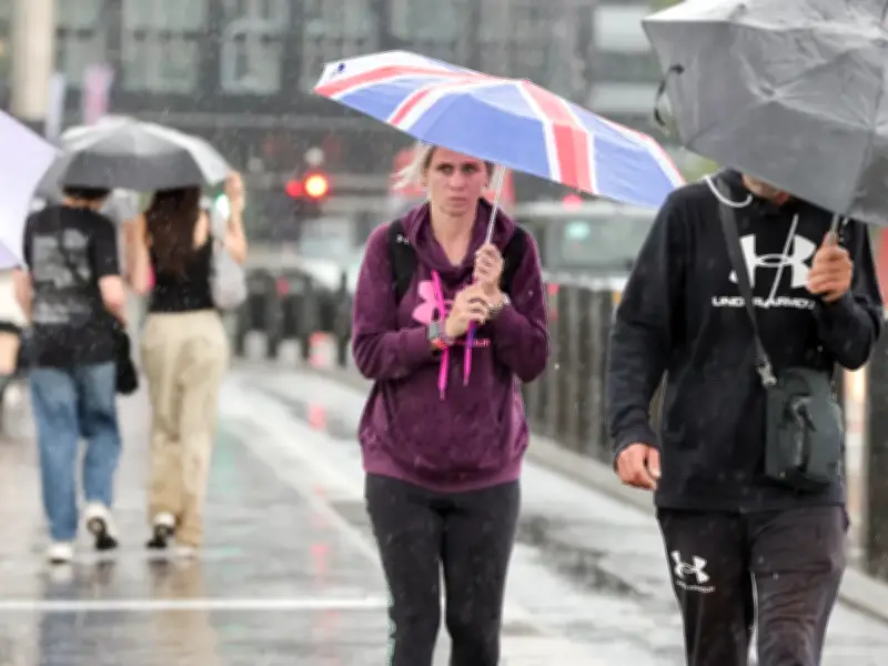
The first day of significant rain is expected on Tuesday, August 18, with showers from early morning into late afternoon and a peak temperature of 25C. On Thursday, August 20, light showers and light winds will cool the capital to about 21C. Friday will see light patchy rain, while heavier showers are predicted for Saturday, August 22, with a cooler 20C.
The heaviest rainfall is forecast for Tuesday, August 25, and Wednesday, August 26, with unrelenting showers and peaks of 22C and 23C respectively. A final bout of significant rain is expected on Saturday, August 29, with temperatures stable at 23C.

Cooling After Record Heat
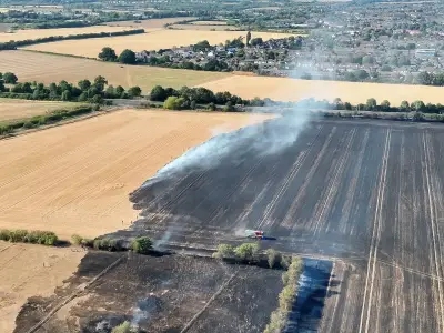
This follows a period of extreme heat, with Kew Gardens reaching 38.1C on Thursday, marking the hottest day of the year. Temperatures plummeted to around 27C on Saturday and remain comfortable at 26C today (Sunday), offering relief after weeks of health alerts and wildfires. The upcoming rain will provide much-needed moisture to London's dried-out parks and green spaces.
Daily Forecast for Next Week
Sunday, August 16: Light cloud and winds, peak 26C. Monday, August 17: Cloudy skies and light winds, peak 26C. Tuesday, August 18: Light rain and gentle breeze, peak 25C. Wednesday, August 19: Patches of sunshine, peak 23C. Thursday, August 20: Light showers and gentle breeze, 21C. Friday, August 21: Sunny intervals and light winds, 21C. Saturday, August 22: Light rain showers and light winds, peak 20C.
The rain is expected to end the driest summer in centuries, according to the Met Office, which has issued warnings for the coming days. Residents are advised to prepare for wet conditions and cooler temperatures as the month concludes.