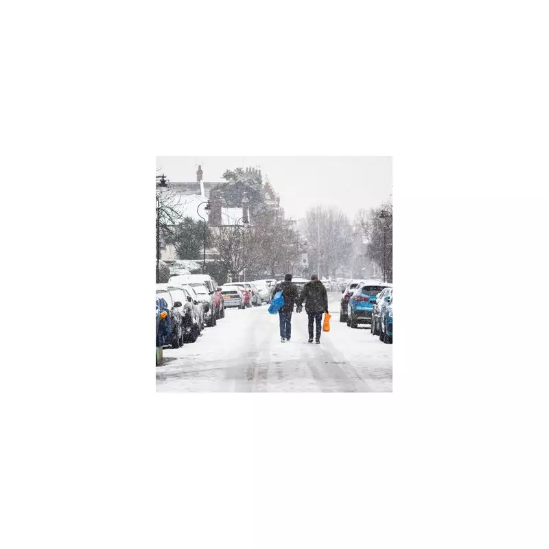
Londoners should prepare for a sharp drop in temperature as weather maps and forecasters indicate the capital's first snowfall could be just days away. After an unseasonably mild start to November, a significant cold snap is set to sweep across the city, prompting residents to dig out their winter woollies.
The Snowfall Date Revealed
According to detailed projections from WX Charts, London could witness its first snowfall of the season in the early hours of Thursday, November 20. The meteorological maps suggest the white stuff will not only dust the capital but also affect areas along the East Coast, parts of Northern Ireland, and Scotland.
The BBC weather team corroborates the forecast of a frosty and potentially wintry morning. Its latest London forecast predicts sleet will fall between 6am and 9am on that Thursday, with temperatures hovering near a biting 2°C.

A Chilly Week Ahead
The anticipated snow is part of a broader cooling trend set to grip London. The BBC's extended forecast shows a steady decline from a relatively warm 16°C on Thursday, November 13, down to just 6°C by the time the sleet arrives on November 20.
While some sunshine is expected to break through around midday on the 20th, temperatures are not forecast to climb any higher than 5°C. This marks a substantial shift from the beginning of the month, with more frequent rain and colder days becoming the new norm.
Why Forecasting London Snow is So Tricky
As Londoners know all too well, predicting snow in the capital is notoriously difficult. Weather expert Ian Currie explains that even minor variations in atmospheric temperature can determine whether precipitation lands as rain, sleet, or snow.
"Snow is very dependant on the height of where you are," Mr Currie told MyLondon. "For every 50 feet you get higher up there is an increased likelihood of an extra day of snow."
This is why one London street might see a dusting while another, just minutes away, gets only rain. Ground-level temperatures are often warmer than those just 25 metres up, causing snow to melt before it reaches the pavement in some areas. Neighbourhoods on higher ground, such as Sanderstead and Biggin Hill, typically see more snow than lower-lying areas like Streatham.
Mr Currie added: "We're talking about very dynamic, complex systems. A weather front could be thousands of miles away, but if it arrives just a little bit off the predicted path, the weather can be totally different."
With the mercury set to drop, all eyes will be on the skies come November 20 to see if London gets its first proper taste of winter.