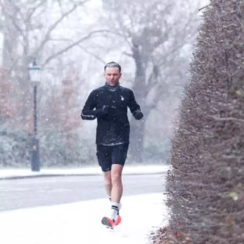
After enduring a prolonged spell of rainy and foggy conditions, Londoners are currently enjoying clearer skies. However, as winter continues into February, the threat of snowfall remains a distinct possibility for the capital.
Official Forecasts Point to Potential Snowfall
In its latest long-range UK forecast covering the first half of February, the Met Office has issued a warning that snow cannot be "ruled out" across the country. This aligns with a WX Charts weather map for Thursday, February 12, which indicates a building risk of snow around London and the broader South East of England.
The BBC Weather service's most recent forecast for London on that same date predicts temperatures will drop significantly during the second week of February. It anticipates sleet beginning around 11pm on Wednesday, February 11, continuing overnight before transitioning into light snow at approximately 6am on Thursday, February 12.

Met Office Details for February
The Met Office's extended UK forecast for February states that while snow is "more likely" over high ground, its occurrence at "lower levels could not be ruled out." The forecast describes: "Largely unsettled weather is expected to begin, bringing showers or longer spells of rain for many places."
It continues: "It may also be rather windy at times, especially towards the south west. Towards the northeast, colder conditions will remain nearby, with the risk of colder air pushing further south west at times, increasing the chance of snowfall. Although snow is more likely over high ground, some snow to lower levels could not be ruled out."
The forecast notes temperatures will generally be close to average, but potentially rather cold in the northeast, with an often brisk wind accentuating the chill, particularly in coastal areas. Confidence decreases later in the period regarding whether milder air from the south west or colder air from the east will dominate.
BBC Weather Forecast for London Until February 12
The detailed BBC forecast for London leading up to the potential snow event is as follows:
- Saturday, January 31: Light rain and gentle breeze. High of 10°C, low of 5°C.
- Sunday, February 1: Light rain and light winds. High of 10°C, low of 6°C.
- Monday, February 2: Light rain and gentle breeze. High of 10°C, low of 7°C.
- Tuesday, February 3: Light rain and light winds. High of 10°C, low of 6°C.
- Wednesday, February 4: Drizzle and a gentle breeze. High of 10°C, low of 6°C.
- Thursday, February 5: Light rain and gentle breeze. High of 9°C, low of 6°C.
- Friday, February 6: Light rain and light winds. High of 8°C, low of 5°C.
- Saturday, February 7: Light rain and light winds. High of 9°C, low of 5°C.
- Sunday, February 8: Drizzle and light winds. High of 8°C, low of 4°C.
- Monday, February 9: Light rain and light winds. High of 7°C, low of 4°C.
- Tuesday, February 10: Light rain and light winds. High of 7°C, low of 1°C.
- Wednesday, February 11: Light rain and light winds. High of 7°C, low of 1°C.
- Thursday, February 12: Sleet from 11pm the previous night until 5am, then light snow from 6am, followed by more sleet from 8am to 9am. High of 6°C, low of 1°C.
Why Forecasting Snow in London is Particularly Challenging
Snow is generally less likely to fall in London compared to more northern regions of the UK. Residents may have observed the peculiar phenomenon where one street receives no snow, while neighbouring areas just minutes away experience a visible covering. This discrepancy has a straightforward meteorological explanation.

Weather expert Ian Currie explained: "Snow is very dependent on the height of where you are. For every 50 feet, 15 metres or so, you get higher up there is an increased likelihood of an extra day of snow." He provided a local example: "So if you take parts of South Croydon for example, Sanderstead and Selsdon, you are likely to get 10 more days of snow a year there than parts in the north of Croydon. It can change that much in a small distance. Again out by Biggin Hill there is much more chance of getting snow than Streatham or Tooting for example."
This sensitivity to minor temperature variations and elevation makes accurate snow forecasting exceptionally difficult. Mr Currie added: "We're talking about very dynamic, complex systems. A weather front could be thousands and thousands of miles away, but if it arrives just a little bit off the predicted path, the weather can be totally different."
The 'Urban Heat Island' Effect
Jim Dales of the British Weather Services highlighted London's status as an 'urban heat island' as a key reason why the capital often misses snowfall that affects surrounding areas. He noted the city's infrastructure typically keeps temperatures slightly warmer than the countryside, but also emphasised the role of geography.
Mr Dales said: “London is an urban heat island even in the winter time, it is normally a degree or so less cold. It’s not always the case though, [but] in this case in the snow scenario, [as to] why there's no snow for London, that is more down to the latitude than it is anything else. Latitude plus the fact it’s an urban heat island. You’ve also got a fairly close proximity to the north sea and to the south to the Channel, so a little more mildness coming off those seas depending on wind direction.”
The extensive concrete surfaces in the city contribute further. He explained: “It is also heavily concreted so any sunshine that comes in the daytime, you get that additional warmth off the concrete warming up that little bit more.” This combination of factors creates a unique microclimate that complicates winter weather predictions for the metropolis.