Met Office Issues Verdict on London Snow Prospects This Week
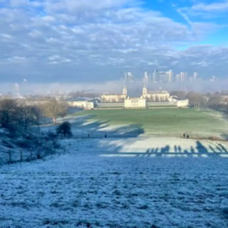
London has experienced a notably wet conclusion to January, swiftly followed by a significant dip in temperatures as February begins. Residents across the capital are undoubtedly feeling the chill after enduring a two-week period of persistent and dismal showers.
Current Conditions and Immediate Outlook
Today, Tuesday, presents a brisk day with average temperatures hovering around 4°C. A cool wind is making conditions feel even colder, adding to the wintry sensation. The Met Office has today issued a yellow weather warning for snow and ice, effective for tomorrow, Wednesday. However, this warning specifically covers Northern England and Wales, indicating that snow is unlikely to hit London directly.
The rest of the United Kingdom will be impacted by a wave of rainfall expected to arrive by mid-afternoon, accompanied by what the Met Office describes as "brisk easterly winds" that will make it "feel cold."

Midweek Relief and Weekend Resurgence
Wednesday offers some respite, with patches of sunshine breaking through the cloud cover. Afternoon temperatures are forecast to climb to a high of 9°C, and the day should remain mostly dry. Overnight, temperatures are predicted to plunge no lower than 5°C.
From Thursday onwards, the dreary weather pattern is set to resume. Light rain is expected to arrive in the afternoon and persist throughout Friday and much of the coming weekend. Despite the precipitation, temperatures will remain relatively stable, with daily highs of 9°C to 10°C anticipated to endure into next week.
Longer-Term Forecast and Expert Statement
Showers are expected to continue for most of next week, with temperatures just reaching double digits on most days. The Met Office provided further clarification on the snow potential, stating: "The freezing level will fluctuate over the next few days, but will often be sufficiently low to allow snow over higher ground in northern areas and perhaps to lower levels at times. Whilst colder air may occasionally encroach further south, rain is more likely to fall here."
Detailed Temperature Forecast for London
Here is a day-by-day breakdown of the expected high temperatures in London across the coming week:
- Tuesday, February 3: Drizzle and light winds, with a peak of 4°C.
- Wednesday, February 4: Patches of sunshine, with a peak temperature of 9°C.
- Thursday, February 5: Light rain and light winds, with a top temperature of 8°C.
- Friday, February 6: A rainy day with light winds, with mercury rising to 9°C.
- Saturday, February 7: Drizzle and light winds, with a peak of 12°C.
- Sunday, February 8: More rainfall, with a peak of 10°C.
- Monday, February 9: Rainfall and light winds, with a peak of 9°C.
While the capital braces for continued damp and chilly conditions, the immediate threat of snowfall appears minimal, confined primarily to more northern regions of the country.