London is set for a sharp temperature drop this week as an Arctic blast sweeps across the UK, potentially bringing the first snow of the season to the capital.
Weekly Temperature Plunge
The capital will experience a marked five-degree temperature fall, with Sunday's high of 11C dropping to just 6C by Thursday, November 20 - the coldest temperature London has seen since March. Today's drizzly conditions with mild breezes will give way to progressively colder days throughout the week.
Monday will see sunny intervals with temperatures reaching 9C, while Tuesday brings mild sunshine and a peak of 7C. The cold intensifies on Wednesday with light rain expected, followed by sleet showers between 6am and 9am on Thursday accompanied by a gentle breeze.

Met Office Warning: Wintry Hazards Ahead
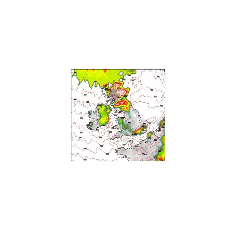
Met Office deputy chief meteorologist Dan Holley confirmed: "As Storm Claudia retreats to the south, high pressure to the north west will drive a cold northerly flow from the Arctic across the UK. This will bring much colder conditions than of late and, whilst generally drier than recent days, there will also be a risk of wintry hazards, such as snow and ice."
He added that widespread frosts will develop across the country, with temperatures potentially dropping as low as minus 7C in some areas, while daytime temperatures will remain in single figures nationwide. The combination of cold temperatures and brisk northerly winds will create a significant wind chill effect.
Why Forecasting London Snow is So Challenging
Weather expert Ian Currie explained the particular difficulty in predicting snow for London, noting that temperature variations across small distances can dramatically change precipitation types. "Snow is very dependant on the height of where you are," Currie told MyLondon. "For every 50 feet, 15 metres or so, you get higher up there is an increased likelihood of an extra day of snow."
This means areas like Sanderstead and Selsdon in South Croydon could experience up to ten more snow days annually than northern parts of the same borough. Similarly, Biggin Hill residents are more likely to see snow than those in Streatham or Tooting.
Currie emphasised that Britain's proximity to the critical temperature threshold for snow makes accurate forecasting particularly challenging. "We're talking about very dynamic, complex systems. A weather front could be thousands and thousands of miles away, but if it arrives just a little bit off the predicted path, the weather can be totally different."
Friday will see light rain return with temperatures climbing back to 7C, while Saturday is forecast to bring mild rainfall and breezy conditions with another peak of 7C.