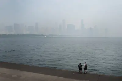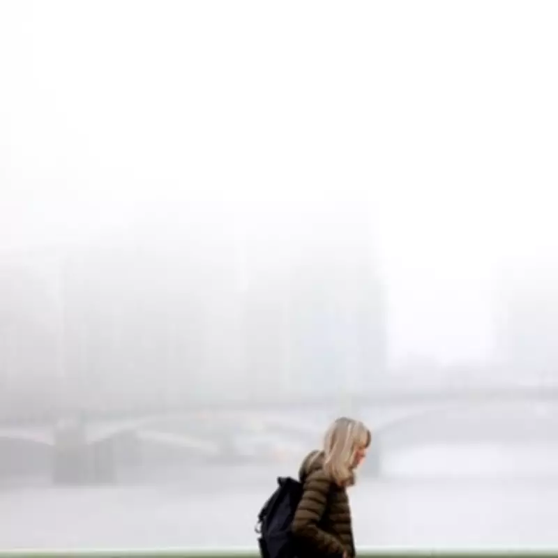
Londoners have been waking up to thick, persistent fog covering the city for the past couple of weeks, with many questioning whether this is a normal occurrence or a cause for concern. As the misty conditions continue to linger throughout the day, residents are seeking answers about the unusual weather patterns.
Expert Analysis of the Foggy Phenomenon
Weather expert Jim Dale from British Weather Services has provided insight into the causes behind London's recent foggy mornings. According to Mr. Dale, the primary reason for the persistent fog is the city sitting under relative high pressure, combined with wet ground from recent rainfall and added moisture typical for this time of year.
"This is not that unusual to see this kind of anticyclonic gloom," Mr. Dale explained. "Once you get it, it kind of puts a lid on the weather itself - basically means the fog sits below it and doesn't go anywhere fast."

The Role of Pollution and Weather Conditions
Mr. Dale emphasized that the fog contains both homemade and imported pollution, which becomes trapped due to the lack of wind dispersal. "Because the lid that sits over us doesn't allow for the dispersal of man-made pollutants, it just sits and wallows around," he noted. This combination of high pressure and pollution creates what meteorologists refer to as "anticyclonic gloom."
The expert described how anticyclonic gloom high pressure traps moisture close to the Earth's surface, forming low cloud, mist, and fog that doesn't lift because of weak sunshine and light winds. The current lack of wind from the West has contributed to the fog remaining stationary over London.
When Will the Fog Finally Clear?
According to Mr. Dale's forecast, the persistent fog should begin to dissipate by Wednesday, with more noticeable wind picking up on Thursday. "Once the breeze starts picking up, I think Wednesday we will see the last of it," he predicted. "The wind will be more noticeable on Thursday and that will bring rain with it and that will wash it out."
Current Met Office data shows wind gusts at 16mph, with forecasts indicating an increase to 30mph from Tuesday, March 10. These higher wind levels are expected to continue throughout the week, helping to displace the fog that has been blanketing the city each morning.
Understanding Anticyclonic Gloom
Anticyclonic gloom represents a weather phenomenon where high atmospheric pressure creates stable conditions that trap moisture and pollutants near the ground. This results in prolonged periods of fog, mist, and low cloud cover that can persist for days without significant wind or temperature changes to break the pattern.
While not entirely unusual for this time of year, the current duration and intensity of London's foggy conditions have drawn particular attention from residents and weather experts alike. The combination of seasonal moisture, recent rainfall, and atmospheric conditions has created perfect circumstances for this persistent weather pattern.
As Londoners await clearer skies, weather experts recommend monitoring wind forecasts as the primary indicator of when the fog will finally lift. The increasing wind speeds predicted for the coming days should provide the necessary movement to clear the atmospheric conditions that have been causing London's extended period of anticyclonic gloom.