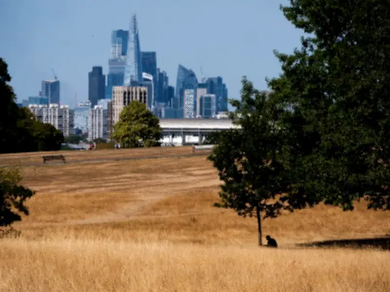
London's parched parks and residents will have to endure one of the hottest days of the summer before a welcome respite: three days of rain are forecast from Sunday, August 23, according to BBC Weather. The capital, which has been under an extreme heat warning with temperatures potentially reaching 37C on Thursday, will see a mix of drizzle and showers dampen the skyline until around 4pm on Tuesday, August 25, the forecast shows.
Heat Warning Peaks on Thursday
The Met Office has issued a 15-hour extreme heat alert covering London to Sheffield, warning of a potential 38C peak. The warning runs from 9am to midnight on Thursday, and forecastsers expect temperatures to reach 37C in London, with little to no cloud cover. The alert cautions that the weather may impact transport, infrastructure, and health, with people—especially the elderly and most vulnerable—likely to experience sunburn, heat exhaustion, and other heat-related illnesses.
Thursday's forecast is for very hot, dry, and sunny conditions, with temperatures rising quickly under strong sunshine. The UK Health Security Agency has also issued a yellow heat health alert for all regions of England, highlighting the potentially fatal impact of hot weather. This came into force at 9am on Tuesday and ends at 9pm on Friday.

Rain Expected After Sunday
BBC Weather isn't forecasting a reprieve until next week, with light rain likely to fall for the majority of Monday, August 17. However, this will be followed by five straight days of sunshine, clear skies, and highs of 23C. The capital is then expected to see rain across three days from Sunday, August 23, with on-and-off drizzle and showers paired with slightly breezy conditions, light cloud, and much more pleasant maximum temperatures of around 23C.
The Met Office's long-range forecast seems to agree with BBC Weather's prediction, warning of "rain in some places" between August 16 and 25. It reads: "Mainly dry at first Sunday, then through the day and into the start of the following week Atlantic frontal systems will probably approach or move across the UK. These will bring some rain in places, perhaps heavy at times."
Cooler Days Ahead
Friday is expected to be cooler and fresher than Thursday, but still warm for many, with mostly sunny conditions and some areas of cloud developing during the afternoon. Saturday will be partly cloudy to start, followed by long sunny spells in the afternoon, with a slight chance of an isolated shower. Temperatures will remain warm but considerably less hot than Thursday. Sunday is forecast to be widely sunny and dry, with sunny spells through much of the day, though cloud may increase from the west towards the late afternoon.
The Met Office alert continues: "Some changes in working practices and daily routines likely to be required. Some heat sensitive systems and equipment may fail, with the potential for some power cuts and the loss of other services to some homes and businesses." The areas affected by the extreme weather warning include Bracknell Forest, Buckinghamshire, all of Greater London, Milton Keynes, Oxfordshire, Reading, Slough, Surrey, West Berkshire, Windsor and Maidenhead, and Wokingham.