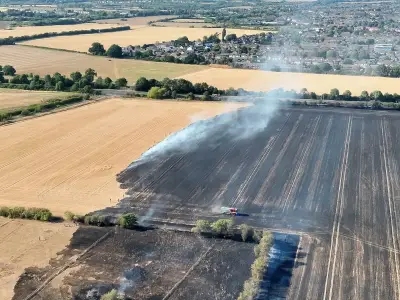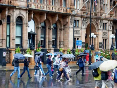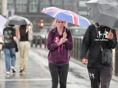
Heavy rain and thunderstorms are sweeping across the UK, prompting a Met Office yellow thunderstorm warning for northern England and north Wales on Thursday. The warning, in effect until 10am, raises concerns of flash flooding, hail, lightning, and travel disruption as the wet weather moves south and east.
The downpours are expected to affect parts of Wales, the Midlands, East Anglia, and southern England later in the day. Some areas could see torrential rain, hail, and lightning, with temperatures also taking a noticeable dip. This abrupt change follows several weeks of hot, dry weather after the UK experienced its fifth heatwave of the year.
Flash Flooding and Hazardous Driving Conditions
Northern England and north Wales are expected to bear the brunt of the thunderstorms on Thursday morning. Between 15mm and 20mm of rain could fall in just one hour, while some places could see as much as 30mm to 50mm over six hours. Flash flooding is possible due to the hardness of the ground from the prolonged dry spell, and lightning and hail are expected to cause further disruption.

Scotland and Northern Ireland are expected to see showers, though they are likely to be less intense and less likely to bring thunder. The return of rain after such a prolonged dry spell could create dangerous conditions for motorists. RAC road safety spokesperson Rod Dennis warned that oil, fuel, and rubber deposits that have built up on roads over many weeks could make surfaces greasy when mixed with rain. He said: 'Oil, fuel and rubber deposits that have built up over many weeks will now have been mixed together by the light rain, instead of being washed away, which means drivers are at greater risk of skidding on greasy roads.'
Motorists are being urged to slow down, leave more space between vehicles, and avoid driving through floodwater where possible.
Drought Persists Despite Rain
Despite the expected rain, experts have warned that the drought affecting large parts of the UK will not disappear overnight. A sustained period of rainfall will be needed to replenish drier areas. The incoming storms will also mark a significant change in temperatures. Thursday could be the first day since June 29 that temperatures fail to reach 25C anywhere in the country.
Friday is expected to feel cooler still, with temperatures widely below the August average. Overnight temperatures could drop into single figures, with parts of Scotland and northern England potentially falling as low as 3C or 4C.