The Curious Case of Gloucester Road's Missing Interchange Symbol
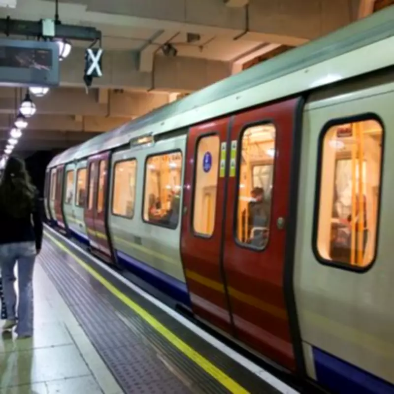
Regular commuters and observant travellers navigating London's Underground network might notice a peculiar detail on Transport for London's iconic Tube maps. While many stations display the distinctive white circle surrounded by black that denotes an interchange station, one notable location remains conspicuously absent from this designation: Gloucester Road station.
This station, situated in the Royal Borough of Kensington and Chelsea, serves both the District and Circle lines alongside the Piccadilly line. However, neither the in-carriage strip maps nor the comprehensive Underground map indicate this practical connection. The green and yellow lines representing the District and Circle services appear destined never to intersect with the dark blue Piccadilly line, creating visual confusion for passengers.
Historical Precedents and Recent Corrections
This omission hasn't escaped the attention of London's commuting community. Online forums and travel discussion platforms have highlighted similar map anomalies across the network. One TripAdvisor user, Cam131999, specifically noted: "Turnham Green and Barons Court aren't shown as interchanges either."

Interestingly, TfL's latest Tube map revisions have addressed these particular stations, officially recognizing both Turnham Green and Barons Court as legitimate interchange locations with the appropriate symbols. Historical examination of older maps reveals that these stations previously suffered the same omission as Gloucester Road currently experiences.
This raises the inevitable question: why have these stations received their long-overdue interchange designations while Gloucester Road continues to be excluded from TfL's official recognition?
The Practical Challenges Behind the Omission
One prevailing theory suggests that Gloucester Road's exclusion stems from the station's notoriously inefficient physical connection between its different lines. Passengers arriving via the Piccadilly line face a particularly arduous journey to reach street level or transfer to other lines.
The process involves walking to the platform's furthest end, navigating a substantial flight of stairs, winding through multiple corridors, and eventually arriving at two large lifts. An alternative lengthy staircase exists but sees minimal use due to its impracticality.
Frequent bottlenecks occur as passengers wait for lifts to descend with new arrivals from the considerably deeper Piccadilly line platforms. This cumbersome transfer system creates significant delays, particularly for time-pressed commuters. Consequently, TfL's mapping strategy emphasizes alternative nearby interchanges at South Kensington and Earls Court stations instead.
Contradictions in TfL's Interchange Policy
Gloucester Road's exclusion appears particularly inconsistent when considering TfL's established policy regarding Out-of-Station Interchanges (OSIs). These designated locations permit passengers to transfer between stations or different sections of the same station without incurring additional journey charges, provided they remain within specified time limits.
A prime example exists at Hammersmith, where two distinct stations serve different line combinations on opposite sides of the road. Despite their physical separation, transfers between them don't trigger extra fares. This established practice makes Gloucester Road's continued omission from interchange designation even more perplexing to regular Tube users.
The station's practical functionality as a transfer point between major Underground lines contradicts its official representation on TfL's simplified maps. While cartographic simplification undoubtedly serves clarity purposes, the exclusion of legitimate interchanges creates confusion for passengers relying on these maps for efficient journey planning across London's complex transport network.