Storm Chandra Set to Batter UK with Severe Weather Conditions
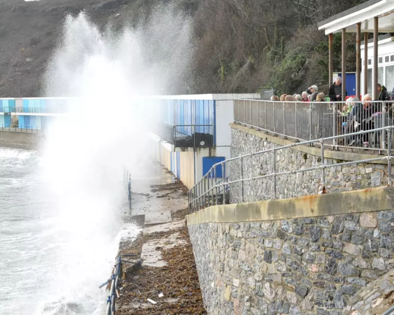
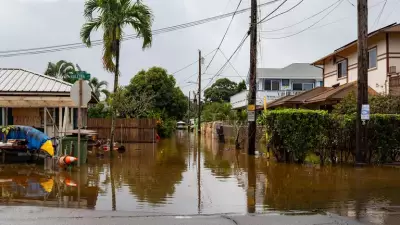
The Met Office has issued urgent warnings as Storm Chandra approaches the United Kingdom, threatening to bring a dangerous combination of torrential rain, high winds, and significant snowfall across various regions. The storm is forecast to impact the country from Monday night through Tuesday, with particular concern for south-west England where flooding of homes and businesses is considered likely.
Multiple Weather Warnings Issued Nationwide
Forecasters have implemented several weather alerts, including amber warnings for both rain in south-west England and wind along the eastern coast of Northern Ireland. These severe conditions are expected to cause substantial travel disruption in affected areas, with authorities advising the public to exercise extreme caution.
The Met Office has highlighted that heavy rainfall presents a particular hazard as it will fall on regions that have already experienced persistent wet weather in recent days. South Dartmoor in Devon could see particularly intense precipitation, with predictions of 60-80mm accumulating over higher ground.
Search Operations Continue Amidst Dangerous Conditions
Emergency services are currently searching for a kayaker who went missing in the River Exe at Tiverton in Devon on Saturday. Police have confirmed that the kayak has been recovered, but the individual remains unaccounted for as storm conditions complicate rescue efforts.
In a separate incident, a body recovered from the sea off Exmouth in Devon on Sunday is believed to be that of Matthew Upham, one of two swimmers who disappeared on Christmas Day. While formal identification is pending, officers have informed the family of a 64-year-old man from Budleigh Salterton.
Snowfall Expected in Northern Regions
While southern areas brace for flooding, northern parts of the UK are preparing for significant snowfall. The Met Office has issued yellow warnings for snow covering Scotland and northern England, where 2-5cm could accumulate widely within warning areas. Higher elevations above 500 meters could see substantial accumulations of 10-20cm.
Paul Gundersen, Chief Forecaster at the Met Office, emphasized the multiple hazards Storm Chandra will bring: "Storm Chandra will bring a range of hazards to the UK through Monday night and Tuesday."
Environmental Agencies on High Alert
By Monday morning, environmental agencies had already activated numerous flood warnings across the country. The Environment Agency in England had established 21 flood warnings indicating expected flooding, along with 99 flood alerts where flooding remains possible. Natural Resources Wales had issued two additional flood alerts as the storm system approaches.
Recent Storm Damage Compounds Concerns
Parts of south-west England are still recovering from Storm Goretti which struck earlier this month, causing widespread damage including winds reaching 99mph on the Isles of Scilly. Thousands of residents in Cornwall experienced power, water, and internet outages, while the storm brought down numerous trees across the region.
Storm Chandra's gusty winds are expected to initially impact the Isles of Scilly, western Cornwall, and south-west Wales before moving north up the Irish Sea. Eastern parts of Northern Ireland could experience particularly severe wind gusts reaching up to 75mph.
As the UK prepares for this latest weather system, authorities continue to monitor conditions closely and urge residents in affected areas to follow official guidance and avoid unnecessary travel during the storm's peak intensity.


