London's iconic Tube map, while a masterpiece of design, contains some puzzling omissions that regularly confuse both tourists and seasoned commuters alike. One particular station continues to baffle passengers with its unusual cartographic status despite serving multiple lines.
The Curious Case of Gloucester Road Station
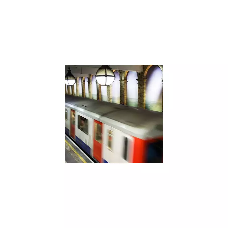
Gloucester Road station presents a genuine mystery on Transport for London's official mapping. While it genuinely connects the District, Circle, and Piccadilly lines, you wouldn't know this from looking at the standard Tube map or the strip maps inside carriages. Unlike proper interchange stations marked with distinctive white circles ringed with black, Gloucester Road appears as if its lines operate independently.
The distinctive green of the District line and yellow of the Circle line never visually acknowledge their dark blue Piccadilly line counterpart at this station. This creates what feels like missed connections in transit form, forcing passengers to either know the secret or discover it through frustrating trial and error.

Historical Context and Recent Changes
This situation becomes even more intriguing when considering TfL's recent mapping updates. Both Turnham Green and Barons Court stations have recently earned official interchange status on Tube maps after previously lacking the designation, much like Gloucester Road's current situation.
Historical maps confirm that these two stations once shared Gloucester Road's ambiguous status, leaving commuters wondering why they've received cartographic promotions while Gloucester Road remains in interchange purgatory. The pattern suggests TfL does reconsider station classifications over time, making Gloucester Road's continued omission more noticeable.
The Practical Reasons Behind the Omission
Transport experts suggest a practical explanation for this mapping decision: the notoriously inefficient interchange layout at Gloucester Road station itself. Passengers transferring from the Piccadilly line face a particularly challenging journey to reach other lines or exit the station.
The process involves walking to the platform's end, climbing a lengthy flight of stairs, navigating through corridors, and finally arriving at two large lifts (accompanied by a daunting staircase that few choose to use). The system frequently creates bottlenecks as passengers wait for lifts transporting new groups down to the deeper Piccadilly line platforms.
This congestion issue likely explains why TfL deliberately directs passengers toward nearby alternatives like South Kensington and Earls Court instead, both of which offer more straightforward interchanges. By not officially marking Gloucester Road as an interchange point, TfL may be attempting to manage passenger flow and reduce pressure on the station's problematic layout.
The situation seems particularly unfair when considering that TfL does acknowledge what it calls Out-of-Station Interchanges (OSIs) elsewhere on the network. These allow passengers to switch between separate stations or different parts of the same station without incurring additional charges, even when passing through ticket barriers.
A prime example exists at Hammersmith, where two distinct stations serve different lines on opposite sides of the road. Passengers can transfer between them without financial penalty provided they complete their journey within the allocated time limit.
Gloucester Road's ongoing absence from official interchange maps represents one of London Underground's most enduring curiosities—a station that technically connects lines while remaining cartographically separate, preserving a transport mystery right in the heart of the city.