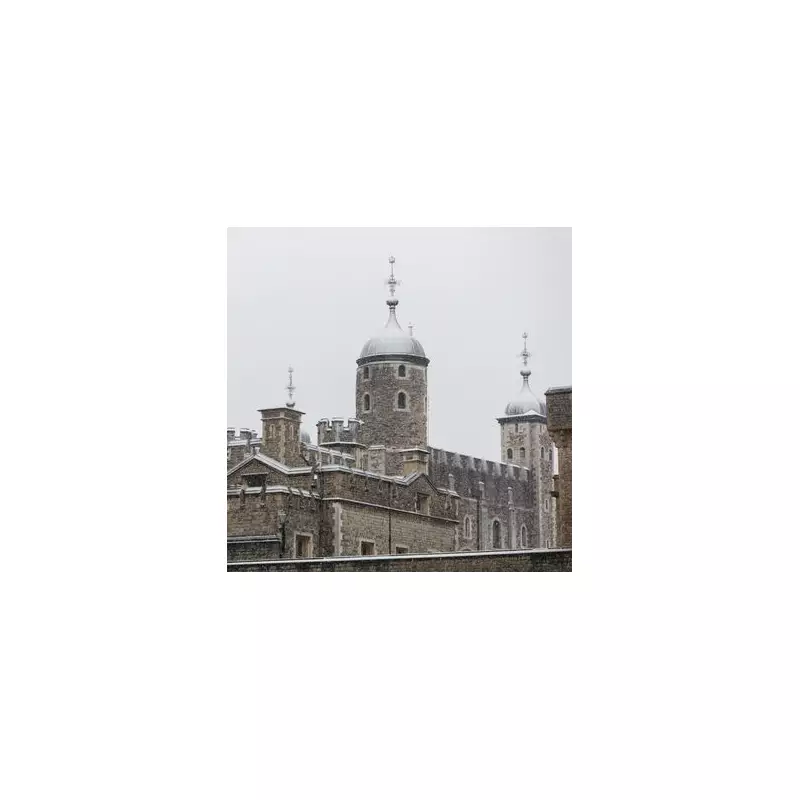
London is preparing for its first significant snowfall of the season as an Arctic blast sweeps across the UK, bringing plummeting temperatures and hazardous icy conditions.
Cold Weather Alert Issued
The UK Health Security Agency has activated a cold weather warning effective from Monday, November 17, which will remain active until Friday. This comes as the Met Office confirms that snow and ice are likely following a period of unseasonably warm temperatures.
High pressure is expected to bring widespread cold conditions across the entire country, with the most significant factor being a dramatic shift in wind direction. Met Office officials state that by Wednesday, the UK will be firmly under the influence of a much colder Arctic airmass.

Timeline of the Cold Snap
The freezing conditions and snow showers are forecast to begin in northern regions before progressing southward by midweek. Wednesday through Friday will represent the coldest period, with the greatest potential for disruptive weather.
Deputy chief forecaster Tom Crabtree provided detailed predictions: "Overnight temperatures could plunge to minus ten degrees Celsius, with significant wind chill from strong northerly winds making conditions feel even colder."
Wintry snow showers are expected to extend south through Wednesday and into Thursday, primarily affecting north-facing coastal areas. Snow accumulations of 2-5cm are possible in some low-lying areas in the north and east where showers are frequent.
Travel Warnings and Safety Advice
With winter conditions establishing themselves, the RAC has issued urgent advice to motorists. Alice Simpson, RAC Breakdown spokesperson, warned: "Freezing temperatures could transform roads affected by heavy rain into extremely slippery surfaces with significant ice risk."
Breakdown volumes are anticipated to be approximately 10% higher than normal for this time of year, equating to around 1,000 additional callouts daily. Simpson highlighted that autumn hazards like fallen leaves become particularly dangerous in icy conditions as they create an extra layer between tyres and the road surface, dramatically increasing skidding risks.
The Met Office emphasizes that updates to current warnings are possible as this represents the first major cold snap of the year. Officials urge the public to maintain regular checks on the latest forecasts as conditions develop.