Britain is set for a major wintry spell in mid-December, with forecasting models predicting a sustained 30-hour period of snow driven by a frigid Arctic air mass.
Timeline of the Snow Event
The significant snowfall is forecast to begin in the early hours of Thursday, December 11. According to weather maps, the first flakes are expected over northern Scotland around 6 am, initially impacting the Highlands and areas including Glasgow and Kilmarnock.
The snow will primarily affect Scotland throughout the day before beginning a southward push in the late evening. By the morning of Friday, December 12, millions could wake up to snowy conditions, with outbreaks likely on the Isle of Man, the Scottish west coast, and Newcastle.

Areas at Risk and Expected Impact
The concentration of snow is expected to intensify as the system moves south. By noon on December 12, it could reach major northern cities such as Manchester and Leeds.
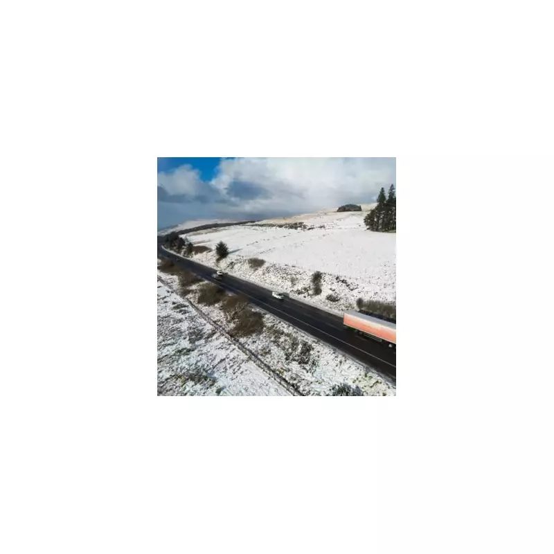
In some high-ground areas, particularly over the Yorkshire Dales and the Peak District, snowfall rates could be heavy, potentially reaching up to two inches per hour. Nationwide temperatures are predicted to be chilly, with midday highs struggling to get above 1C to 2C.
Southern England and Wales are likely to stay relatively dry during this period, with the heaviest snow and some light rain confined to more northern regions.
Official Outlook and Forecast Challenges
The Met Office's long-range outlook for December 7 to 16 suggests generally unsettled conditions will continue, bringing rain and strong winds. The official forecast also included a note of caution, highlighting the inherent difficulty in predicting snow events accurately so far in advance.
This impending snow event is attributed to a sharp plunge of Arctic air making its way southwards across the UK, colliding with moisture to create widespread wintry conditions.