The UK is on high alert for significant disruption as the first named storm of 2026, Storm Goretti, prepares to strike. The Met Office has issued a series of severe weather warnings for heavy snow and strong winds, following the coldest night of the winter so far where temperatures plunged to a biting -12.5°C (9.5°F).
Widespread Warnings as Cold Snap Intensifies
Meteorologists warn that the south of the UK is expected to bear the brunt of the incoming storm on Thursday and Friday. Sky News meteorologist Dr Christopher England stated that while the exact track remains uncertain, the most probable scenario involves heavy rain spreading from the southwest on Thursday, turning to snow from Wales across to East Anglia. He forecasts "significant falls" of snow and "severe gales around southern coasts."
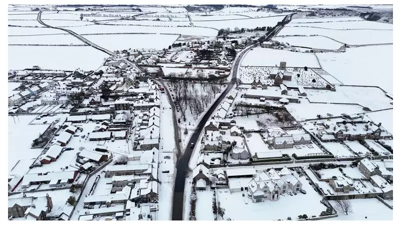
The warnings come after a severe frost gripped the nation. The Met Office confirmed Monday night was the coldest of the season, with -12.5°C recorded in Marham, Norfolk, and lows of -11.2°C in Dalwhinnie, Scottish Highlands. Londoners woke to temperatures as low as -5°C on Tuesday morning.

Multi-Day Disruption and Health Alerts
The UK Health Security Agency (UKHSA) has extended its amber cold health alerts across England until midday on Sunday, highlighting risks to vulnerable populations. Meanwhile, Aberdeenshire Council declared a major incident, anticipating a prolonged period of severe impacts. Their stark warnings include:
- Likely travel delays, with potential for stranded vehicles and passengers.
- Probable cancellations to rail and air travel.
- A good chance rural communities could become cut off.
- Increased risk of injuries from slips and falls on ice.
- Potential for power cuts, possibly affecting mobile phone coverage.
Detailed Met Office Warnings for Snow and Ice
The Met Office has rolled out a cascade of yellow weather warnings. For Wednesday, three are in effect: one for ice across Northern Ireland; another for snow and ice over northern mainland Scotland, parts of the Outer Hebrides, and Orkney; and a third for ice covering much of the rest of the UK.
On Thursday, two new yellow warnings are added: one for wind in southwest England and one for snow across much of Wales, the Midlands, Bath, Bristol, and Oxford. This snow warning lasts until midday on Friday and indicates that 5-10 cm of snow may settle widely, with up to 20 cm possible in some areas, particularly over higher ground.
The disruption has already begun, with hundreds of schools in Shetland, Orkney, and Aberdeenshire closed on Tuesday under amber snow warnings, and National Rail reporting ongoing train service disruptions in northern Scotland.