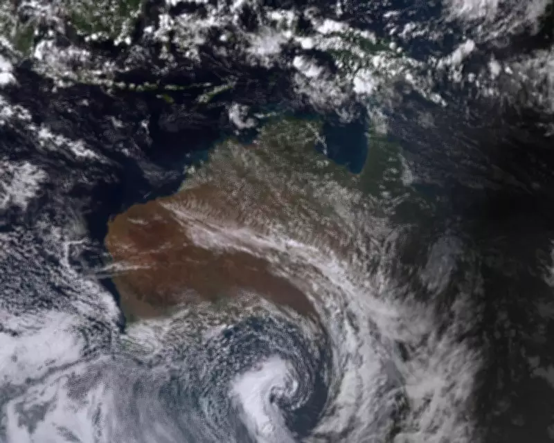
Record-breaking warm temperatures for the start of May in many parts of Australia will be washed out by a cold front bringing rain, thunderstorms and much cooler weather, according to the Bureau of Meteorology (BoM).
Unseasonable Warmth
A high-pressure system dragged warm northerly winds across south-east Australia, causing daytime temperatures on Friday to be 10 to 14 degrees Celsius above average in parts of New South Wales, Victoria, South Australia and Tasmania. Dozens of stations recorded their warmest May day on record.
In Victoria, Geelong, Shepparton and Bendigo were among the places that experienced their warmest days on record, with temperatures in the high 20s. In Tasmania, records were broken in Hobart and Launceston, which recorded 26.9C and 24.3C respectively. Night-time temperatures across parts of South Australia, Queensland, Victoria, Tasmania and NSW were eight to 12 degrees above average on Friday night.

Cold Front Approaching
A cold front over the Southern Ocean, which circles Antarctica, merged with a cloud band moving over Western Australia to form the cold front that swept across South Australia on Saturday, heading towards Victoria and Tasmania. BoM meteorologist Christie Johnson said on Friday that there had been “unseasonably warm conditions over the last couple of weeks.”
“However, as we move into Sunday, we do see that cooler air extending across SA and into western Victoria, with maximum temperatures dropping just back into the high teens,” she said. “And finally on Monday, the cold air will make its way right across the south-east, with much cooler temperatures. And this will feel particularly cool … given the warm temperatures we’ve had recently.”
Expected Impacts
Thunderstorms, rain, windy conditions and “abnormally high tides” were expected over south-eastern Australia over the weekend and into the start of next week. There is a risk of severe storms, heavy rainfall and potentially flash flooding, Johnson said.
Sydney will be spared the wintry blast, though, with temperatures forecast to remain in the mid-20s most of the week. Sydney’s maximum temperature is expected to reach 26C on Sunday, with rain and 25C predicted for Monday. Rain is forecast for Melbourne all week, with a maximum of 23C on Sunday dropping to 13C by Thursday.
Australia also had its driest April since 2018, adding to the significance of the incoming rain.