The UK is set for a sharp temperature drop this week, with forecasters warning of potential snow, icy roads, and a significant risk to public health. The Met Office has confirmed that a plunge of cold Arctic air will bring a 'notable change' to the weather pattern, replacing the recent milder conditions.
Widespread Warnings and Potential Disruption
The UK Health Security Agency (UKHSA) has issued cold health alerts for the entire country. North West and North East England are under an amber alert, effective from today until 8am on Friday. The Midlands and all areas south of this are covered by a yellow warning, which highlights the potential for a rise in fatalities, particularly for those aged over 65 or with existing health conditions.
Meteorologists predict the cold spell will be 'markedly colder' than last week, with a 'harsh frost' expected by week's end. The sudden chill follows the torrential rain and gusts from Storm Claudia, which caused unprecedented flooding in areas like Monmouth.

Where and When to Expect Snow
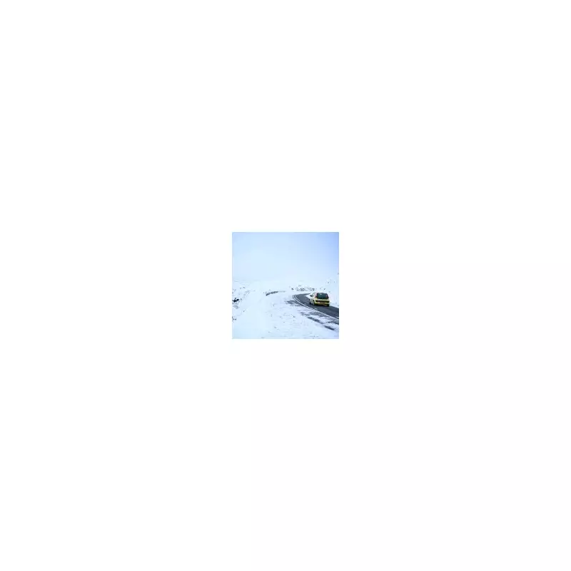
The most significant snow accumulations are expected in northern parts of the UK. The Met Office has issued a snow warning for Wednesday and Thursday, covering North East England, the Scottish Borders, and Yorkshire and the Humber.
Alex Burkill, a Met Office meteorologist, explained the developing situation: 'There is an area of low pressure that's pushing its way southwards as we go through Tuesday night and into Wednesday, and that's bringing the focus for that burst of showery rain, with a bit of sleet, bit of hill snow mixed in.'
The forecast indicates that snow showers will feed inland from the North Sea, with potential accumulations of 2-5 cm at low levels, 5-10 cm on hills above 100 metres, and as much as 15-20 cm above 300 metres. Scotland and the eastern side of northern England are most likely to see disruptive snow, with areas like Newcastle-Upon-Tyne, Middlesbrough, and Hartlepool in line for a dusting.
Travel Hazards and Public Advice
The RAC Breakdown service has warned drivers to be prepared for difficult conditions. Alice Simpson, a spokesperson for RAC, said: 'There's potential for freezing temperatures to make roads hit by heavy rain very slippery with a chance of ice.'
The organisation expects breakdown volumes to be around 10% higher than normal, equating to roughly 1,000 more call-outs each day. Icy roads, combined with fallen leaves, create a particularly hazardous layer that increases the risk of skidding.
Beyond travel, the core threat is to health. The UKHSA's cold health alert system is designed to provide early warnings to the NHS, emergency services, and the public during periods of low temperatures that are likely to impact health and wellbeing.
The weekend is expected to bring milder air and further rain, offering some respite from the cold. However, the weekend just past gave a taste of what is to come, with Tulloch Bridge in Scotland recording a minimum temperature of -7°C on Saturday night, the coldest night in the UK since March.