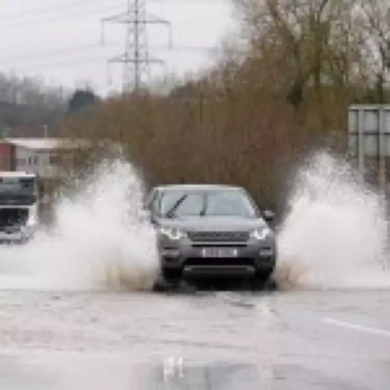
The United Kingdom is grappling with a significant flooding crisis today, with more than one hundred official flood warnings currently active across various regions. This comes as forecasters predict even more rainfall throughout the week, exacerbating already saturated conditions.
Widespread Weather Warnings
A yellow weather warning for rain has been issued by the Met Office, covering London, southern England, and parts of Wales. The agency has stated that heavy rain expected on Monday afternoon and evening is likely to cause flooding and significant disruption to travel networks.
Met Office meteorologist Tom Morgan provided insight into the conditions, explaining, "The winds are coming in from a south-easterly direction, so it is coming on to coasts that have been particularly affected by recent storms. There will be some heavy rain, and the rain is falling on saturated ground, so further flooding is possible, particularly as we move into the evening."

Regional Flood Alert Breakdown
The flood warnings are concentrated primarily across southern and central regions of the country:
- Southern England: Severe flood warnings have been issued near Bournemouth, Southampton, and Reading.
- South West and Wales: Flood alerts are active in South Pembrokeshire, the Lower Severn area, and for the Rivers Wye and Monnow.
- Midlands and Beyond: The East and West Midlands are affected, with Gloucestershire under warning and areas near the River Trent south of Nottingham in red flood warning zones.
Record Rainfall Continues
This latest bout of severe weather continues what has been an exceptionally wet start to 2026. Remarkably, precipitation has been recorded somewhere in the UK on every single day of the year so far.
Jim NR Dale from British Weather Services offered a sobering outlook when asked if the rain would ever stop. "There will be drier or even the odd dry day going forward, but for the most part, the rain continues," he stated. Dale forecasted that between 40 and 100mm of additional rain would soak the UK by mid-February.
A Shift in Weather Patterns
Dale did note one significant change on the horizon for northern regions: "However, in Scotland and the north, from February 12, the polar vortex dislocation happens. Snow instead of rain. Colder and icy weather then follows, but still with rain when it isn't snow!"
The Met Office attributes this persistent wet weather to a series of low-pressure systems affecting the country. When air pressure is low, warm air rises, creating colder conditions that lead to cloud formation and precipitation.
As the UK faces yet another week of challenging weather conditions, residents in affected areas are advised to stay informed through official channels, prepare for potential travel disruptions, and take necessary precautions against flooding.