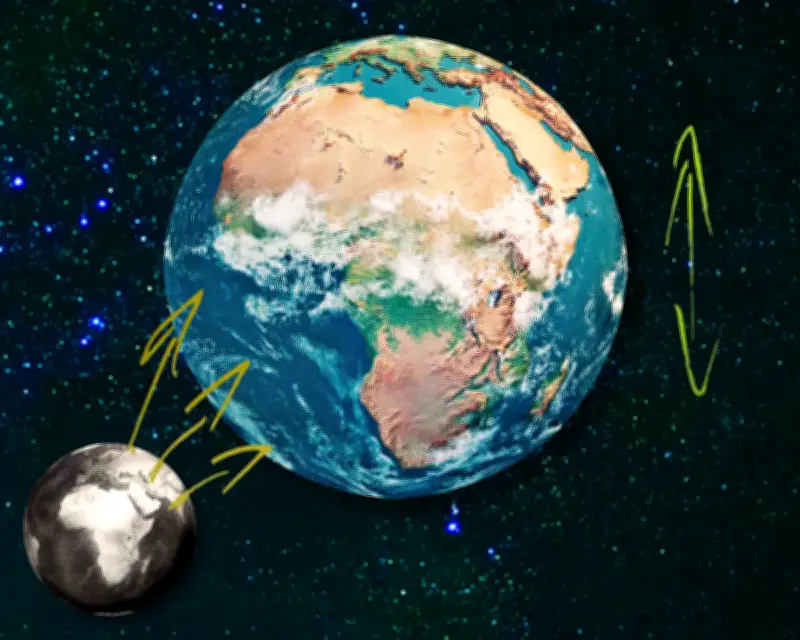
The United Nations has passed a resolution, brought by Togo, to phase out the traditional Mercator map of the globe and replace it with the “Equal Earth” map, which shows the true scale of territories. The move highlights that the map of the world most people grew up with is inaccurate, with Africa being the main loser of land on the Mercator projection. The new map reflects Africa’s true proportions, showing the continent as taking up almost double the ratio of total land area compared to the old map.
US vetoes UN resolution on map change
According to The Guardian’s west Africa correspondent Eromo Egbejule, the US was the only country that vetoed the UN resolution, with six other nations abstaining. The US dismissed the effort as “superfluous,” but Egbejule views this as a euphemism for “ideological” or “woke.” He told The Guardian, “I don’t see why it feels so strongly. This is a scientific discussion. It’s not an imposition.”
The resolution is not binding, but the US opposition reveals a desire to preserve the connection between size and status. US president Donald Trump’s reported interest in Greenland was influenced by its inflated size on the old map, where it appears roughly the same size as Africa despite being 14 times smaller. The new map shows Greenland as a fraction of its Mercator depiction.

Maps and perceptions of power
Egbejule emphasized the significance of the resolution, saying, “It does matter. Make no mistake.” He explained that the momentum from such a resolution could pave the way to a “multipolar world order,” quoting two pidgin proverbs: “every dance begins with a clap” and “it’s grains of rice that fill up a pot.” The map resolution follows a separate UN vote to recognize the transatlantic slave trade as a crime and call for reparations, an effort also led by an African country.
The geographical inaccuracies of the Mercator map include the shortening of Africa and the relative expansion of North America and Eurasia. Egbejule noted that the change makes people nervous because it ties into legacies of colonisation, including the carving up of the continent and the enslavement of its populations. He said there is something diminishing about learning that the US, China, and Russia “can all fit into Africa with some space to spare.”
Broader implications for shared reality
The resolution challenges dominant western understandings of history and reality, using high-profile international institutions to advocate for change. Africa No Filter, an advocacy group involved in the map justice campaign, issued a statement that stood out to Egbejule: “If we got something as basic as Africa’s size wrong for this long, what else about Africa have we simply accepted without questioning?”
The Mercator map has remained the standard for over four centuries, and the resolution addresses issues of accuracy as well as the symbolic and political significance of maps. The change could lead to broader calls to decolonise curriculums, as people may ask what else their children will be taught. The resolution reflects growing traction around advocacy that uses international procedures to challenge established narratives, and its impact may be symbolic but meaningful, gaining ground in a world where shared reality is increasingly fractured by social media and AI.