Mapping the Last Glaciers in Oceania
Puncak Jaya in Indonesia, one of the last equatorial mountains with glaciers, has seen its ice cover shrink dramatically due to the climate crisis. Project Pressure, a nonprofit organization, has created the first 3D model of the remaining ice before it disappears entirely.
The Expedition to Puncak Jaya
At 4,884 meters, Puncak Jaya on Papua, Indonesia, is the tallest mountain in Oceania. The team, led by Klaus Thymann, traveled to the remote area to document the glaciers. The journey began in Timika, a hub for PT Freeport Indonesia's gold and copper mining operations, which are controversial for their environmental and social impacts, including pollution and displacement of Indigenous communities.
Indigenous Communities and Mining
The Kamoro community is one of several Indigenous groups in central Papua whose ancestral land is now occupied by mining operations. The area around Timika is home to diverse Indigenous communities living in coastal, rainforest, and highland regions.

The Helicopter Journey
A rare clear morning allowed the helicopter to take off, flying over rivers and rainforest. The nearby mine has been accused of dumping waste into waterways. The helicopter followed the mine's road, which is restricted to mine personnel and escorted by armed military. As altitude increased, temperatures dropped, and the pilot navigated by sight through mountainous terrain.
Basecamp at Yellow Valley
Arriving at basecamp in Puncak Jaya's Yellow Valley at 4,150 meters, the team faced a rapid ascent from sea level in about 25 minutes, risking altitude sickness. The camp was shared with trekking companies bringing climbers to Puncak Jaya, one of the seven summits. Project Pressure waited several days for clear skies.
Surveying the Glacier
The team trekked to the glacier survey location, passing small lakes formed by mountain rain. They placed colorful ground control targets, and Thymann used a drone to capture hundreds of high-resolution images for a photogrammetry model. The targets helped triangulate coordinates across the model with Trimble geospatial technology, providing centimeter-level precision. A local military guard assisted, as the glacier is beyond standard trekking routes.
Documenting the East Northwall Firn Glacier
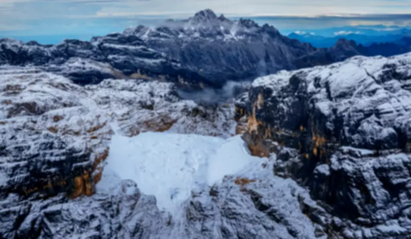
A clear morning allowed extensive imaging of the East Northwall Firn glacier. Ice once covered the entire mountain top but is now concentrated in a saddle between ridges. The final 3D model shows the fragmented glacier in blue. Project Pressure's calculations indicate a 95% decrease in area since 2002.
The Future of the Glacier
The remaining ice on Puncak Jaya is likely to disappear within the next few years. The 3D photogrammetry model created from this expedition will serve as a visual legacy for future generations, documenting the rapid loss of glaciers in Oceania.