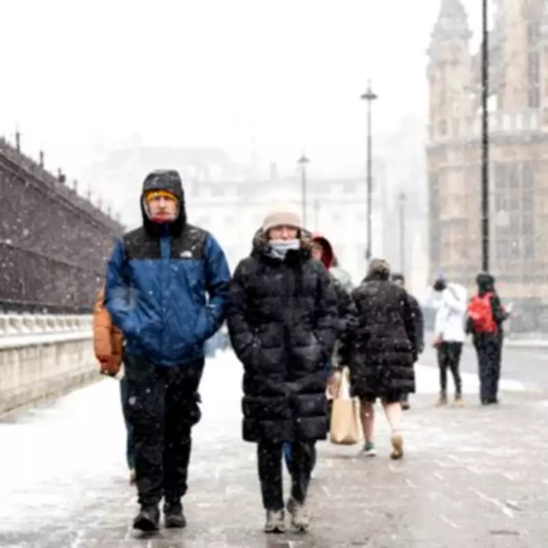
London Snow Forecast: Met Office Predicts Exact Day for Winter Flurries
The Met Office has pinpointed the precise day when London could experience snowfall this week, marking a shift from the persistent rainy conditions that have dominated the capital since the start of the year. According to their latest forecast, Sunday, February 15, is expected to bring "possible snow" alongside rain and sleet, as temperatures plummet and strong winds sweep across the region.
Detailed Weather Outlook for London
Following a week of showers and dropping temperatures, the weather is set to turn notably colder. Today and tomorrow will see continued rain, with temperatures falling to around 8°C by Friday. Saturday will offer a brief respite with sunnier but chillier conditions at 6°C, before Sunday's anticipated mix of rain, sleet, and potential snow. The Met Office weekend forecast for London and the South East warns: "Turning cold and frosty, but drier and brighter Saturday. Cloudy with rain, possible snow and strong winds early Sunday, brighter later. Monday, windy with sunny spells and showers."
In addition to the snow threat, several flood alerts remain active across London, including areas such as West Drayton, Chertsey, Sunbury-on-Thames, and Chigwell. Jason Kelly, a Met Office chief forecaster, highlighted that any settling snow will primarily affect higher ground, with locations above 200 metres in Scotland and northern England possibly seeing 2-5cm, and those above 300 metres potentially receiving up to 10cm. He cautioned, "As the rain and snow clears south, temperatures will fall quickly under the clear skies which could lead to ice forming on untreated surfaces."
Why Snow Is Less Common in London
Forecasting snow in London presents unique challenges compared to other parts of the UK. Jim Dales of the British Weather Services attributes this to London's status as an 'urban heat island,' where concrete and buildings retain heat, keeping temperatures slightly warmer than surrounding rural areas. He explained, "London is an urban heat island even in the winter time, it is normally a degree or so less cold. In this snow scenario, why there's no snow for London, that is more down to the latitude than anything else."
Further complicating predictions, Ian Currie, a weather expert, noted that snow likelihood varies significantly with elevation. "Snow is very dependent on the height of where you are. For every 50 feet or so you get higher up, there is an increased likelihood of an extra day of snow," he said. This means areas like South Croydon or Biggin Hill may see more snow than lower-lying parts of the city, such as Streatham or Tooting. Currie added, "We're talking about very dynamic, complex systems. A weather front could be thousands of miles away, but if it arrives just a little off the predicted path, the weather can be totally different."
Weekly Temperature Forecast for London
- Thursday, February 12: Showers, 10°C
- Friday, February 13: Showers, 8°C
- Saturday, February 14: Cloudy with sun, 6°C
- Sunday, February 15: Sleet showers, 7°C
- Monday, February 16: Cloudy with sun, 10°C
- Tuesday, February 17: Cloudy, 9°C
- Wednesday, February 18: Showers, 10°C
Residents are advised to stay updated on weather alerts and prepare for potential icy conditions, especially on untreated surfaces following any snowfall.


