Arctic Air Mass Sweeps UK, Prompting Severe Weather Alerts
The Met Office has announced that an Arctic Maritime air mass is moving across the United Kingdom, ushering in significantly colder conditions from northern Scotland southwards. This meteorological shift has led to the issuance of multiple snow and ice warnings, affecting large portions of the country over the weekend.
Widespread Snow and Ice Warnings in Force
Further alerts for snow and ice have been activated for extensive areas of northern England and Scotland, while a separate ice warning covers most of the rest of England and Wales. These warnings are effective from 4pm on Friday, February 13, 2026, until 8pm the same evening, extending into Saturday. An additional snow and ice warning for northern regions of England and Scotland will commence at 9pm on Saturday, remaining in place through Sunday morning.
The forecaster has cautioned that snow, potentially heavy at times, may cause considerable disruption to travel, particularly over high ground during Saturday night and Sunday morning. Ice is also a significant hazard, especially in north-east England and parts of Scotland, where rain falling on frozen ground could create very slippery conditions.
Cold Health Alert and Travel Impacts
Concurrently, a cold health alert from the UK Health Security Agency (UKHSA) has been initiated, covering central and northern areas until 8am on Monday. This alert warns that vulnerable individuals could face increased risks, and there may be minor impacts on health services due to heightened demand.
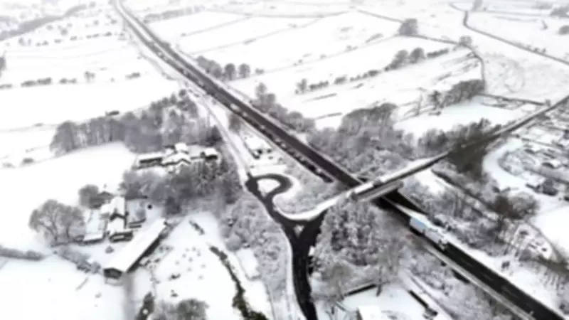
Cold weather has already resulted in road closures in northern England, with the A66 shut between Bowes in County Durham and Brough in Cumbria because of concentrated snowfall. National Highways reported that crews are on scene with winter treatment vehicles working to clear and treat the carriageway, but forecasts predict continued snowfall in the area throughout the morning.
Forecast Details and Broader Weather Patterns
Chief forecaster Rebekah Hicks indicated that additional warnings might be necessary and urged the public to stay updated with the latest forecasts. A weather front bringing more rain, strong winds, and snow is expected to sweep in from the west on Sunday, impacting northern areas. Outbreaks of rain spreading eastwards on Saturday night will initially fall as snow, even at low levels, before becoming confined to higher ground as milder air arrives from the west.
Temporary snow accumulations of 1-3cm are possible at low levels, with 3-7cm likely above about 150 meters elevation, and potentially 10-15cm above 400 meters. More rain is anticipated on Monday, with downpours continuing into the latter half of next week.
The start of 2026 has been marked by a parade of gloomy, wet weather due to a blocking pattern, with 26 weather stations setting new monthly records for rain in January. Northern Ireland experienced its wettest January in 149 years, while Aberdeen endured its longest sunless spell since 1957, recording zero hours of sunshine for 21 consecutive days before breaking the spell earlier this week.


