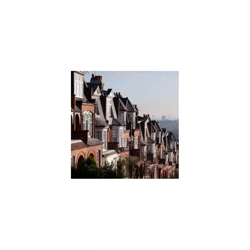
London is a city famed for its unique character, from its distinctive skyline to its centuries-old traditions. Yet, one of its most enduring puzzles is administrative: the seemingly illogical postcode system that leaves many residents and visitors scratching their heads.
Why is there an N postcode for North London, but no S for South? Where did the NE district disappear to? And why do the numbers appear to be in such a jumble, with SE17 bordering SE1 and no SW5, 6, 7, 8, 9, or 10 to be found? The answers lie deep in the city's postal history.
The Victorian Origins of London's Postcodes
The system's foundations were laid in the 1850s by Sir Rowland Hill, who established a logical network of ten postal districts for the capital. This initial plan included West and East-Central districts, followed by each compass point and their intermediates, creating a coherent N, NE, E, SE, S, SW, W, and NW structure.

This era of geographical clarity, however, was remarkably short-lived. The man who disrupted it was Anthony Trollope, a Post Office surveyor and celebrated novelist who also happened to invent the iconic red post box.
How A Novelist Reshaped The Map
Tasked with assessing the efficiency of London's postal service, Trollope made a decisive move. He discovered that the volumes of letter traffic in London's NE and S districts were too low to justify their existence.
Consequently, he made the controversial decision to reallocate the S prefix to Sheffield and the NE to Newcastle. In 1866, the NE district was merged with the E district, and the S district was officially abolished in 1868, its territory divided between the SE and SW districts.
The change was not immediately accepted. Residents were largely unaware of the shift, and signs for the NE district remained displayed in parts of London well into the 20th century, a ghost of a postal system that once was.
The Mystery of the Jumbled Numbers
The confusion doesn't end with the missing letters. The numbering system, introduced during the First World War, appears equally haphazard. Neighbouring areas often have non-sequential codes; for instance, SW12 sits next to SW2, and E1 is a long way from E14.
The method behind this madness was alphabetical. Each compass point district was given a central area, typically housing the main sorting office, which was designated with the number '1' (W1, N1, E1). The surrounding districts were then numbered based on the alphabetical order of their locality names.
This is why E5 is Clapton, E6 is East Ham, and E7 is Forest Gate. This alphabetised approach explains why consecutive numbers can be miles apart and why seemingly random codes are, in fact, immediate neighbours.
So, the next time you find yourself perplexed by a London postcode, remember you are navigating a system shaped by Victorian practicality, a novelist's judgement, and an alphabetical quirk that has stood the test of time.