A newly highlighted historical map paints a stark picture of Britain's dramatically shrunken railway network, revealing how thousands of miles of track and hundreds of stations have vanished over the last century.
The Golden Age vs. Today's Skeleton Network
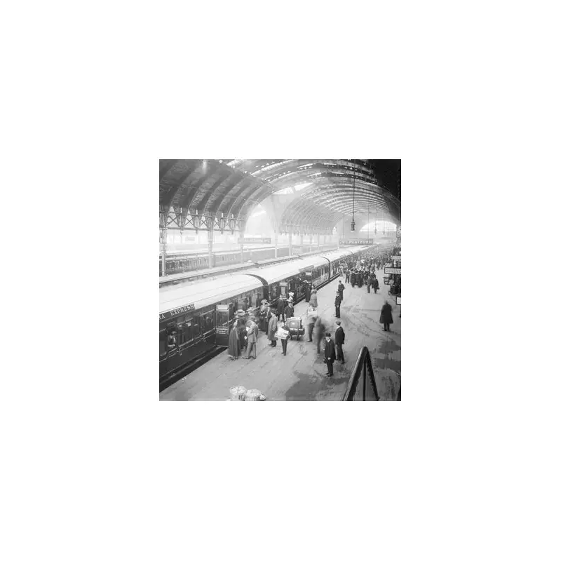
At its zenith in 1914, the British rail system was a global behemoth, boasting approximately 23,440 route miles of track operated by around 120 competing companies. This sprawling network connected communities large and small, offering direct and frequent services. Today, that extensive web has been slashed to a mere 9,864 miles, leaving many towns and rural areas with severely limited or non-existent rail links.
The interactive map, sourced from Rail Map Online, illustrates how towns that once enjoyed multiple rail routes now often rely on a single line. This contraction has forced a shift towards car dependency and slower bus services for journeys that were once straightforward by train.

Case Studies: From Connectivity to Isolation
The impact is felt nationwide. Royal Tunbridge Wells in Kent serves as a poignant example. In the 1860s, railway companies battled to serve the town, resulting in connections to Hastings, London, East Grinstead, Lewes, and Brighton. Today, locals are left with just the original Hastings to London line, making travel beyond this corridor difficult without a car.
The story is equally dramatic on the Isle of Wight. Where three railway lines once crisscrossed the entire island, only the Island Line from Ryde Pier Head to Shanklin remains in regular service. This massive reduction in infrastructure represents a significant setback for eco-friendly travel, given trains' potential for lower carbon emissions compared to road and air transport.
The Dr Beeching Axe and Decades of Decline
The most famous chapter in this story of decline was written by Dr Richard Beeching, Chairman of the British Railways Board in the 1960s. His seminal 1963 report, "The Reshaping of British Railways," recommended the closure of 2,363 stations and 5,000 miles of line – 55% of all stations and 30% of route miles. A further report in 1965 focused investment on a handful of major trunk routes.
Despite widespread public protest that earned Beeching his infamous nickname, the 'Beeching Axe' fell hard. Between 1963 and 1975, the nationalised British Railways Board cut the network from 17,500 to 11,000 miles and reduced staff numbers from about 475,000 to 250,000. This followed earlier consolidation, where 120 companies were merged into four main groups before WWII, and subsequent nationalisation under the 1947 Transport Act.
A Legacy of Lost Potential
The long-term consequence is a UK rail network that now pales in comparison to European neighbours like Germany (24,000 miles) and France (18,400 miles). The map invites us to imagine an alternative Britain, one where the dense, connective tissue of the 1914 network might have evolved to meet modern needs. For countless communities, the loss of their railway station remains a defining moment, shaping travel patterns, local economies, and environmental impact for generations.