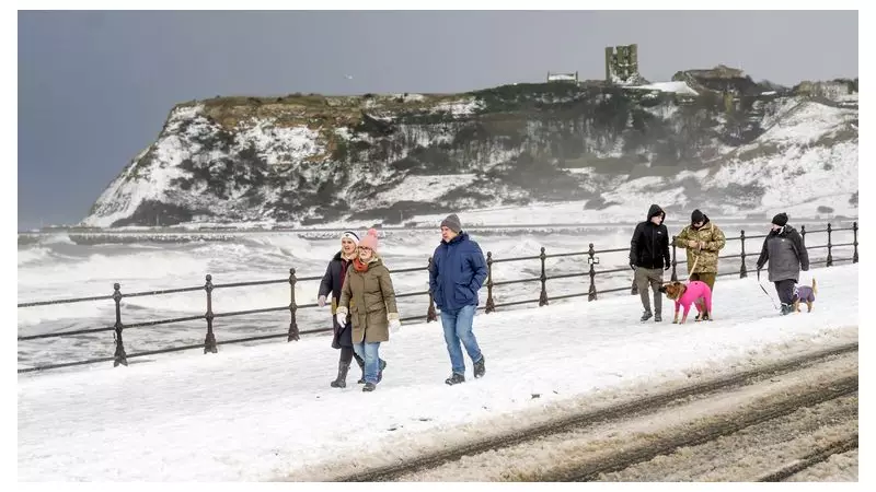
The UK is braced for further significant snowfall and hazardous ice as a severe cold snap continues to grip the nation. The Met Office has escalated its warnings, issuing an amber alert for snow in northern Scotland where up to 30cm could accumulate, alongside a network of yellow warnings for snow and ice covering much of the country.
Widespread Warnings and Snowfall Totals
As of Saturday 3 January 2026, substantial snow had already settled, with more than 20cm (7.9in) recorded in northern Scotland. The village of Tomintoul in the Cairngorms saw a notable 37cm (14.5in) of snow. The band of wintry showers is moving southwards, with snow predicted to reach the south coast overnight into Sunday 4 January.
While not all areas will be affected, many places can expect 1-3cm of snow, with the potential for 5-8cm in some locations. The Met Office has warned of widespread ice forming on untreated surfaces, creating treacherous conditions.

Extended Weather Alerts and Health Advisory
The Met Office's yellow warning areas have been extended across Wales and South West England, with Scotland and Northern Ireland also covered. Most of these warnings persist into Monday, expiring between 11am and noon. A separate warning for ice along parts of England's North East and East coast is in force until the end of Monday.
Furthermore, the UK Health Security Agency (UKHSA) has issued a level 3 amber cold weather alert for all regions of England, effective until 10am on Friday 9 January. This signifies that the conditions are likely to increase mortality rates among vulnerable populations, including the over-65s and those with pre-existing health conditions, and will significantly impact health and social care services.
Travel Disruption and Forecast Outlook
The severe weather is expected to cause considerable travel disruption over the coming days. The public is urged to prepare for longer journey times by road, with likely delays and cancellations to rail and air travel. The Met Office has also indicated a possibility of power cuts in affected areas.
Looking ahead, the forecaster stated: "Winds should ease somewhat into Sunday, with showers by then most prevalent around coasts. Snow showers should finally begin to ease during Monday morning." With temperatures expected to stay below freezing in many inland areas, any lying snow is not anticipated to thaw soon, prolonging the icy hazard.