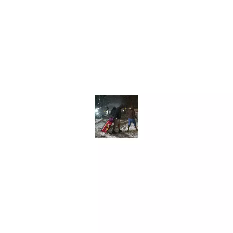
The United Kingdom is grappling with its most severe winter storm in years as Storm Goretti unleashes blizzards and hurricane-force winds across the nation. The Met Office has issued rare red weather warnings, declaring the event the 'worst snowfall in a decade' and forecasting a 'multi-hazard' onslaught of snow, ice, and gusts reaching 100mph.
Nationwide Chaos: Flights Axed and Travel Networks Paralyzed
The storm's impact has been immediate and severe. Birmingham Airport cancelled all flights overnight after heavy snow rendered runways unusable. Major travel disruption is widespread, with all train services in Cornwall suspended and key routes in Devon, including Exeter to Barnstaple, also cancelled.
National Highways has issued an amber warning for snow across the West and East Midlands, urging drivers to reconsider journeys. The agency stated that routes around Birmingham, Leicester, and Nottingham will see 'particularly difficult driving conditions'. Furthermore, the A628 Woodhead Pass will be closed in both directions from 8pm Thursday due to the severe conditions.

Met Office Forecast: A 'Multi-Hazard Event' Unfolds
Meteorologists warn that Storm Goretti, named by France's weather service, is a complex and dangerous system. Met Office Chief Forecaster Neil Armstrong described it as a 'multi-hazard event', combining heavy rain, strong winds, and significant snowfall.
Alex Burkill, a Met Office meteorologist, explained that the storm is colliding with the existing cold air, triggering heavy snow on its northern edge. Up to 10cm of snow is expected widely across Wales and the Midlands, with 15-25cm likely in many areas and a potential for up to 30cm (12 inches) in some spots. Wind speeds of 60-70mph are forecast for southwestern coasts and hills this afternoon and evening.
Warnings and Health Alerts in Force Across the UK
A complex web of weather warnings is now active. An amber warning for heavy snow covers parts of Wales, the Midlands, and South Yorkshire until 9am Friday, warning of stranded communities, power cuts, and mobile signal disruption.
A broader yellow snow warning is in place for much of England and Wales until midday Friday. Concurrently, yellow rain warnings affect eastern England and west Wales. The UK Health Security Agency has escalated its response, issuing an amber cold weather health alert until January 11. Officials anticipate a rise in deaths, particularly among the vulnerable, with impacts possible across all age groups.
In a record-breaking event, a wind gust of 99mph was recorded at St Mary's Airport on the Isles of Scilly yesterday, a new record for that location. Forecaster Jim Dale of British Weather Services told Metro that a 'blob of Polar air' is behind the prolonged cold snap, stating: 'The storm will dump the snow, especially across Wales and the Midlands.'
With conditions set to deteriorate, authorities are advising extreme caution. The NHS suggests adopting a penguin-like waddle with short, shuffling steps to navigate icy pavements safely. The public is urged to stay informed via official weather trackers and avoid travel unless absolutely essential as Storm Goretti continues its disruptive path across the country.