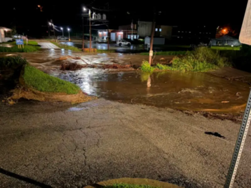
Missouri has declared a state of emergency in response to severe storms and flash flooding affecting the state's central, south-central, and south-eastern regions. Governor Mike Kehoe announced the order, activating the Missouri state emergency operations plan to allow state agencies to coordinate directly with local jurisdictions for expedited emergency assistance.
Governor urges caution as heavy rain continues
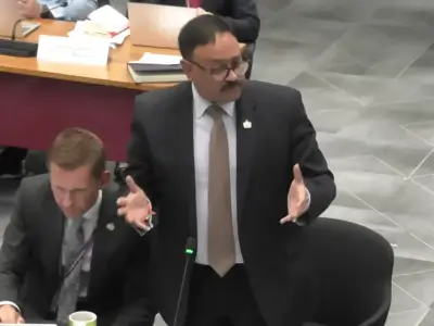
In a news release, Kehoe stated, "Over the past 24 hours, intense storms have created dangerous flash flooding across several regions of Missouri, resulting in multiple swift-water rescues. Activating the plan allows our agencies to move quickly, coordinate resources, and support local response efforts. I'm grateful for every first responder and local team member working around the clock to help save lives."
Kehoe warned that the threat was "not over," noting that "additional heavy rain [is] expected through the weekend." He advised residents, "If you're camping, floating, or spending time near rivers and streams, move to higher ground and stay alert of weather conditions. Missourians should continue to monitor local forecasts and follow the guidance of local authorities."

Widespread rainfall and emergency response
According to the governor's office, some areas have received between 6 to 12 inches of rain. The Missouri state highway patrol, state emergency management agency, division of fire safety, Missouri state parks, and Missouri department of conservation are responding alongside local emergency responders to assist with flash flooding affecting homes, roads, and campgrounds. The state's taskforce has been activated, deploying 50 highly trained members with specialized equipment and rescue boats.
National Weather Service warnings
On Friday, the US National Weather Service (NWS) issued a Flash Flood Emergency for parts of Iron and Reynolds counties, warning that additional rounds of thunderstorms with heavy rains are expected through Friday evening, with an extended flood watch in place over the weekend. Flash flood warnings were also in effect for parts of Iron, Reynolds, Andrew, Madison, Washington, Buchanan, Crawford, Clinton, DeKalb, and Holt counties.
The NWS stated that "the flash flood risk is increasing across south-eastern Missouri into the Tennessee Valley for this evening into the overnight hours as rounds of heavy rainfall fall over saturated soils." The agency warned that "numerous flash floods are likely," urging residents to stay alert and avoid driving or walking through flooded roads.
Local impacts and forecasts
The NWS office in St Louis reported that thunderstorms produced between 6 and 12 inches of rain from Thursday night into early Friday morning, resulting in "extensive and catastrophic flash flooding across eastern Missouri." Forecasters added, "Additional rainfall is expected in the same area through tonight, and a flood watch remains in effect." Meanwhile, the NWS in Kansas City warned of "damaging winds and heavy rainfall as the primary threats, but hail and a brief tornado cannot be ruled out," noting that storms will be efficient producers of torrential rainfall that could lead to flooding.