The Met Office has confirmed a significant cold snap is set to grip the nation, bringing a dramatic end to the recent mild spell. With temperatures predicted to plunge as low as -7°C, the UK is on alert for frost, ice, and potential snow.
From Storms to a Deep Freeze
This abrupt shift in weather comes in the wake of Storm Claudia, which impacted the UK on Friday, November 15. While London experienced grey and overcast conditions, the storm had a severe effect in Wales. A major incident was declared in Monmouth, south-east Wales, after the River Monnow burst its banks, leading to severe flooding and dozens of rescues and evacuations.
As cleanup efforts continue, the weather story is changing entirely. The retreating storm is making way for a high-pressure system that will funnel an Arctic northerly wind across the country, ushering in much colder conditions.

Met Office Forecast: Widespread Frost and Wintry Hazards
Dan Holley, Deputy Chief Meteorologist at the Met Office, outlined the incoming conditions. He stated that the UK will experience "much colder conditions than of late" accompanied by a risk of snow and ice.
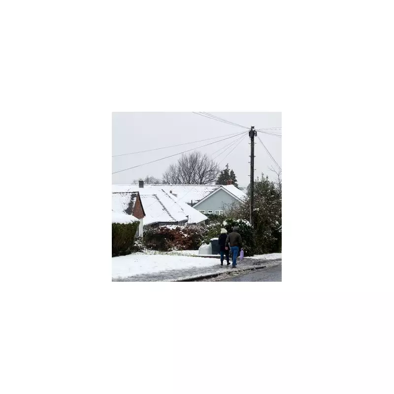
Widespread frosts are expected across the UK, with overnight temperatures potentially dropping to a biting -7°C in some areas next week. Daytime temperatures are also set to struggle, largely remaining in single figures nationwide.
Adding to the chill will be a "brisk northerly wind," creating a marked wind chill that will make it feel even colder. This is described as a "notable change" following a prolonged period of above-average temperatures.
Official Warnings and London's Outlook
In response to the forecast, the UK Health Security Agency (UKHSA) has issued an official cold weather alert. This warning is active from 8am on Monday until 8am next Friday and covers the East Midlands, West Midlands, North East, North West, and Yorkshire and The Humber.
Meanwhile, the Environment Agency has cautioned that flooding risks will persist throughout the weekend.
For London, the BBC weather forecast indicates a chilly week ahead:
- Sunday, November 16: Drizzle, low of 5°C
- Monday, November 17: Sunny intervals, low of 3°C
- Tuesday, November 18: Sunny intervals, low of 3°C
- Wednesday, November 19: Light rain, low of 2°C
- Thursday, November 20: Sleet showers in the morning, then sunny intervals, low of 2°C
The long-range forecast suggests the cold northerly flow will continue, bringing further overnight frosts and the potential for wintry showers, particularly in northern, eastern, and western coastal counties.