The UK faces a severe and complex weather threat this Sunday, with an amber warning for snow active in Scotland and a multitude of yellow warnings for wind, rain, and ice across the nation, raising the spectre of widespread disruption and localised flooding.
Warnings in Force: Snow, Rain, and Gales
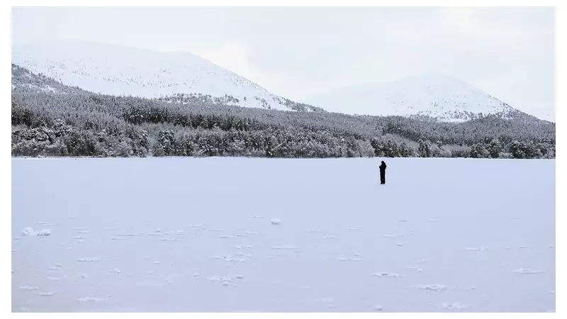
The most serious alert, the amber snow warning, covers central and northeastern Scotland, stretching from north of Glasgow to Aberdeen. It remains in place until 2pm on Sunday, 11 January 2026. The Met Office warns that higher ground could see accumulations of up to 30cm (12 inches), with 2 to 5cm (0.7 to 3 inches) likely at lower levels.
Beyond the amber alert, a blanket of yellow warnings paints a picture of a country grappling with multiple hazards. These include:

- Snow and ice across much of Scotland, the North West, North East, and West Midlands until 3pm Sunday.
- Strong winds for Scotland, Northern Ireland, and northern England, with a separate warning for parts of Scotland from 9pm Sunday to midday Monday.
- Heavy rain for northwest and southwest Scotland and Northern Ireland, with all bringing a possible flooding risk.
- Ice across the East Midlands and North East, including parts of Yorkshire and Lincolnshire, until 11am Sunday.
From Deep Freeze to Flood Threat
This latest bout of wild weather follows days of heavy snowfall, ice, and sub-zero temperatures, exacerbated by Storm Goretti on Thursday and Friday. The storm brought winds nearing 100mph in the South West, triggered a rare red warning, and led to school closures and travel chaos. Tragically, police confirmed a man in his 50s died in Helston, Cornwall, after a tree fell onto a caravan.
Met Office forecaster Greg Dewhurst described a "very unsettled start" to Sunday, with outbreaks of heavy rain, strong winds, and snow. He highlighted a critical transition in conditions: "There was currently a transition from recent cold weather to milder temperatures but also an increase in risk of heavy rain, strong winds, snow initially, which will then melt and lead to the risk of flooding."
This melting snow and ice, combined with forecast heavy rain, is the primary driver of the new flood risk for many areas.
Milder Air Brings Its Own Dangers
Paradoxically, the shift to milder conditions intensifies the danger. Southerly winds are pushing warmer air across the UK, with Plymouth forecast to reach 13C (55F) and Manchester potentially hitting 10C (55F)—warmer than Madrid's expected 8C (46F).
Sky News weather producer Dr Chris England explained: "Southerly winds associated with bands of rain spreading from the southwest will make it much milder... ending the current cold spell." He added that snow would become confined to northern Scottish mountains by midday, turning to rain almost everywhere. This combination of heavy rain and rapid snowmelt creates a potent recipe for localised flooding.
The public is advised to stay updated on the latest Met Office warnings, plan for travel disruption, and be aware of the flooding risk in their area as the UK weather pattern undergoes this volatile shift.