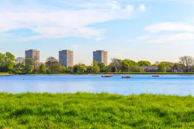
The Met Office has forecast a return of warm weather next week, with temperatures in parts of southern England and London potentially reaching 26C. The balmy conditions, caused by changes over the Atlantic, are expected to bring a final spell of summer-like warmth before autumn becomes more firmly established.
Forecast details for next week
According to the Met Office, a ridge of high pressure is expected to build across the UK after a few fading showers on Sunday and Monday. This will pave the way for increasingly settled conditions into the middle of next week. Temperatures are forecast to climb steadily rather than surge dramatically, with warm sunshine helping values rise from day to day.
The highest temperatures are most likely across southern parts of the UK, where current forecasts suggest highs could reach the upper 20s by the end of next week. London's warmest days are set to be Monday and Tuesday, with the mercury hitting over 23C on both days, while nighttime temperatures hover just below 20C.

The Met Office said: 'After a few fading showers on Sunday and Monday, a ridge of high pressure is expected to build across the UK, paving the way for increasingly settled conditions into the middle of next week. Temperatures are forecast to climb steadily rather than surge dramatically, with warm sunshine helping values rise from day to day.'
Cause of the warm spell
The throwback summer is caused by changes over the Atlantic, which is fanning up a low-pressure front west of the UK, the Met Office said. While it is not expected to sweep directly above the British Isles, it is expected to funnel warmer air from the continent and subtropical Atlantic.
The Met Office added: 'The highest temperatures are most likely across southern parts of the UK, where current forecasts suggest highs could reach the upper 20s by the end of next week. While confidence is lower further north, much of the country is likely to see a spell of warmer-than-average weather as high pressure remains in control.'
Context of a record-breaking summer
The UK has endured a record-breaking heatwave summer, which brought tropical temperatures and sunshine but also left a serious drought that still lingers. Some areas of the UK faced five heatwaves beginning in May, one in late June, two in July and around a month ago in August. A rare extreme heat alert was issued in June, and the tough conditions have taken a toll, with around 2,877 deaths in England associated with the May and June heatwaves, according to the UKHSA.
The most recent heatwave, in mid-August, saw temperatures climb as high as 38.2C at Hartpury College, Gloucestershire, on August 13, making it the hottest day of the year. Most of England and all of Wales remain officially in drought, the exceptions being the North East, North West and Yorkshire.
Ongoing drought concerns
Reservoir storage in England currently stands at 56%, nearly 20 percentage points below the average for this time of year, the Environment Agency said on Friday. The situation is so dire that England will need seven months of above-average rainfall to bring the drought-struck areas back to normal.
The Met Office noted that these temperatures would be notably warm for late September and could offer a final taste of summer before autumn becomes more firmly established. The warm spell is not expected to alleviate the drought, as rainfall remains below average in many areas.