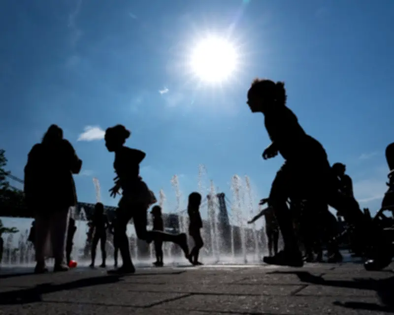
A prolonged and dangerous heatwave is set to engulf a large portion of the central and eastern United States for the upcoming week, the National Weather Service (NWS) warned on Sunday. Temperatures are expected to rise ahead of the Fourth of July holiday, with high humidity making it feel even hotter.
Scope of the heatwave
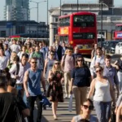
On Sunday, more than 130 million Americans across southern and Great Plains states were under moderate to severe heat risk conditions, according to NWS maps. This area is forecast to expand, with temperatures intensifying as the week progresses. Forecasters predict several days of high temperatures, some above 100F (38C), settling across the lower Great Lakes, the mid-Atlantic, and the Mississippi and Ohio River valleys.
NWS meteorologist Bryan Putnam noted that some record highs could be set in areas from the lower Great Lakes to the mid-Atlantic and New England later in the week. “That’s heat that’s impactful to anyone,” Putnam said. “It’s not just older adults or younger children or people who are spending a ton of time outdoors. This is heat that really could impact everyone, especially with people outdoors going into the holiday weekend.”

Affected cities and regions
Major cities expected to see their highest temperatures of the year include New York City, Philadelphia, Washington, Baltimore, Chicago, Indianapolis, St Louis, Detroit, Dallas, Little Rock, and Memphis. The NWS said high heat will last into next weekend across the Great Plains, the south-east, and the mid-Atlantic.
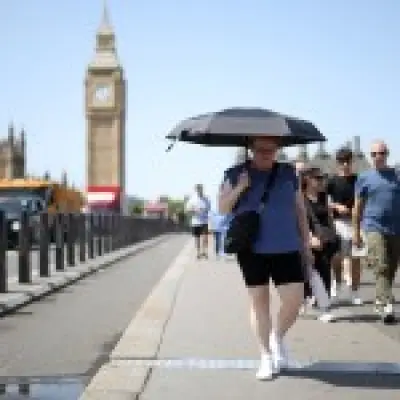
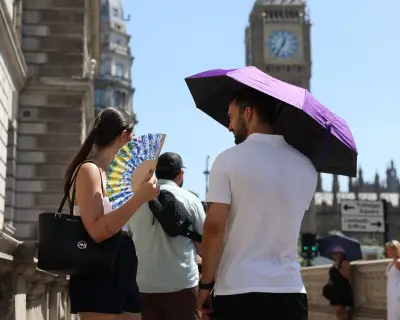
Temperatures will reach well into the 90s and low 100sF, with high humidity leading to heat indexes of 100-110F, and as high as 115F. The heat index, which factors in humidity, provides a sense of how hot it really feels and what is dangerous for prolonged exposure or strenuous activity.
Comparison to normal temperatures
AccuWeather meteorologist Tyler Roys said temperatures will be significantly above normal. For example, in Washington DC, highs around the Fourth of July holiday average about 89F, while Indianapolis averages about 85F. For the stretch in question, both cities can expect to be hotter by 10 or 11F, Roys said. He explained that the high pressure system creating the heat will act like a “rock,” forcing storms to go around it and limiting rainfall across the east—a phenomenon sometimes called a “heat dome.”
Nighttime lows and health risks
Nightly lows in the 70sF or even high 80s won’t provide much relief, meteorologists said. For those without air conditioning, especially in eastern seaboard cities like New York where lows may not dip below 80F, sleeping will be miserable, Roys said. He also noted this is a prime time for heat-related illnesses because people’s bodies aren’t able to recover and cool off. The weather service advised limiting outdoor activity, staying hydrated, and ensuring access to air-conditioning and other cooling areas during extreme temperatures.
Wildfire risks and fatalities
The NWS also warned of extremely dry and windy conditions that could promote rapid wildfire spread across the Great Basin and the south-west on Sunday. In hot, windy conditions near the Colorado-Utah border, three firefighters working for the US Wildland Fire Service and US Forest Service were reported killed, with two others sustaining burn injuries, when they were overcome by flames from fast-moving wildfires. Wildfire activity has intensified across the western US as hot, dry, and windy weather fueled flames in Utah, Colorado, Arizona, and elsewhere.
Climate context
Instances of extreme weather—including dangerous heat and conditions ripe for wildfires—are symptomatic of the world’s ongoing climate crisis, which is primarily driven by carbon emissions from the burning of fossil fuels, according to scientists.