The Met Office has forecast that August could be plagued by thunderstorms, with occasional summertime storms possible given the right ingredients. The long-range forecast from August 5 to August 19 indicates unsettled weather, though exact locations and times cannot be predicted this far ahead.
Despite the stormy outlook, temperatures are likely to remain above normal, with potential for further hot spells, particularly in the south. Jim Dales of the British Weather Services confirmed the prediction, stating that 'the longer we go the chances of a breakdown with some severe thundery weather become higher.'
Risk of Tube Station Flooding
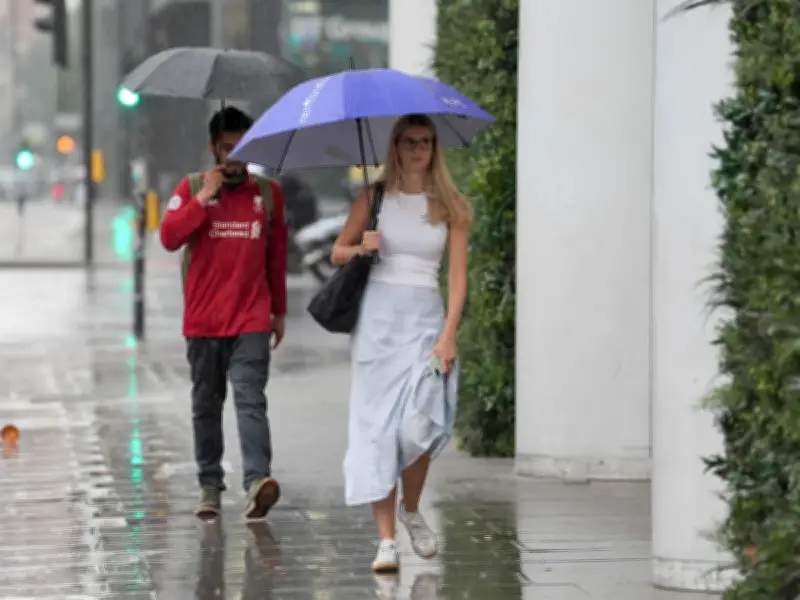
Dales highlighted a possibility that Tube stations could flood, drawing on past incidents. 'We've seen it before,' he said. 'Highly likely in the situation that we now find ourselves with climate change, with more than a 50 per cent chance of rain.'

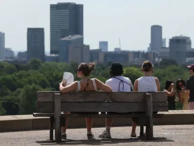
He also warned that a fourth heatwave is on its way, with temperatures intensifying from Monday, July 27, potentially reaching a sweltering 34C.
London Weather This Week
Today, Wednesday, July 22, will start with low cloud, mist, and fog patches, but these should lift during the morning to leave a fine day with sunny spells and a maximum temperature of 27C. The evening will remain dry with clear spells and a minimum of 17C.
Thursday, July 23, will see low cloud or fog clearing to sunny spells, though some light showers are possible. Maximum temperature 27C. From Friday to Sunday, the weather stays fine on Friday but turns slightly cooler and breezier over the weekend with a chance of rain.