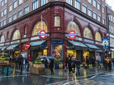
Navigating London's busy streets on two wheels, with their notorious junctions and tight squeezes next to buses, can be enough to put anyone off cycling. But one determined Londoner has made it his mission to change that, creating a comprehensive map that has now guided over 1.3 million people towards safer journeys.
The Birth of SafeCycleLDN
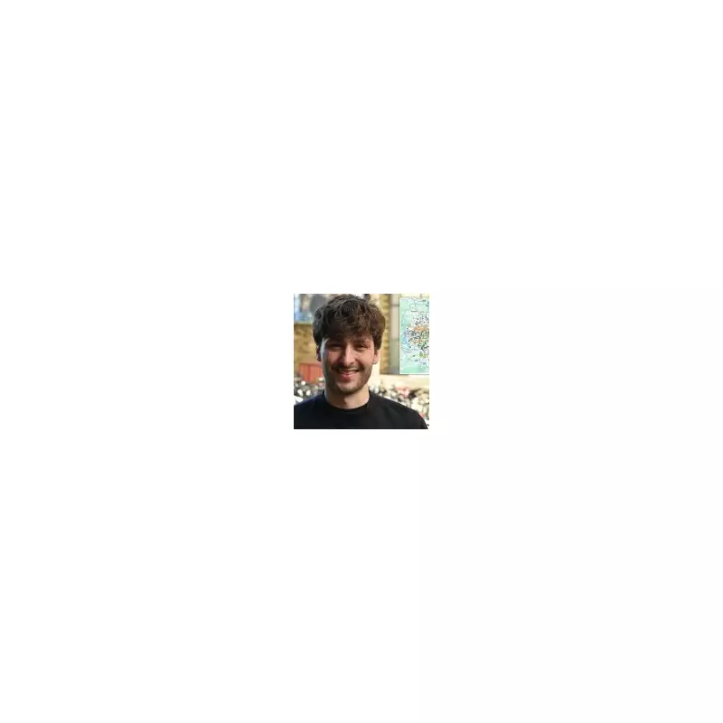
Aydin Crouch, 34, began his ambitious project five years ago after his flatmates confessed they were 'too scared to bike' in the capital. When he couldn't find a suitable existing map that prioritised safety, he decided to make his own. Starting with a few routes he knew, the heritage consultant's project snowballed. He combined hours of first-hand reconnaissance with data from Google Maps and tips from fellow enthusiasts to build what is now known as the SafeCycleLDN map.
'There needed to be a cycle map for London that made safety its focus,' Aydin explained. The result is a meticulously detailed guide that he says is far more comprehensive than Transport for London's official cycleways, covering every inch of the city.

How the Map Keeps Riders Safe
The map uses a clear, colour-coded system to distinguish between different types of route, allowing cyclists to make informed choices:
- Thick blue lines: Protected permanent cycle lanes, fully segregated from traffic.
- Thin blue lines: Unprotected routes on quiet backstreets.
- Light blue lines: Routes with light segregation, like plastic bollards.
- Orange lines: Shared space paths with pedestrians.
- Green lines: Park routes that are closed at night.
- Blue boxes: Low-traffic Neighbourhoods.
- Brown & pink lines: Routes under construction or in consultation.
The diagram also highlights planned future lanes and park closures, offering a forward-looking view of London's cycling infrastructure. 'It’s bloody hard to find your way around and try and navigate a city this big,' said Aydin. 'Now if you’ve got this map, you can study your local area and find an established route that takes you wherever you’re going.'
Endorsement and Soaring Popularity
The map's impact has been substantial. Since its inception in 2021, it has been viewed over 1,300,000 times, with nearly one million of those uses coming in the past year alone. Its authority has been cemented by an endorsement from the London Cycling Campaign (LCC), the leading advocacy group for safer cycling in the capital.
Simon Munk, Head of Campaigns and Community Development at the LCC, praised the resource. 'We absolutely love the SafeCycleLDN map – it’s a hugely useful resource for not just those planning routes across London but for active travel campaigners arguing for more safe cycle routes in their area,' he said. He added that the map clearly shows which boroughs are delivering safe networks and where the dangerous gaps remain, which is vital for saving lives and enabling more people to cycle.
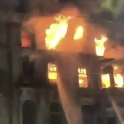
The stark need for such a tool is underlined by the statistics. In 2024, official figures show that nearly 1,000 cyclists were seriously injured on London's roads, with nine killed and a further 3,800 suffering slight injuries. Aydin points to inconsistent infrastructure as a key problem. 'You might have a protected cycle route for part of the journey then suddenly you are left on your own... What we lack is that high-quality getting from A to B.'
He receives regular messages from novice cyclists thanking him for giving them the confidence to ride, while experienced cyclists use it to find safe passages in unfamiliar areas. His future hope is that major navigation apps like Citymapper or Google Maps will integrate his detailed safety data into their routing algorithms.

Helen Cansick, TfL’s Head of Healthy Streets Investment, stated: 'TfL is committed to making cycling safer and more accessible for everyone in London.' She highlighted the expansion of the cycleway network from 90km in 2016 to over 430km today and ongoing work with boroughs and third-party apps to improve journey planning. Aydin Crouch's 3,000-hour labour of love is now a cornerstone of that mission, helping to turn London's daunting roads into a connected, safer network for all.