The United Kingdom is experiencing its first notable cold snap of the season, with wintry conditions expected to persist across coastal regions after parts of the country were blanketed by up to 7cm (2.7in) of snow.
Widespread Snowfall Records
The Met Office confirmed that wintry showers are set to continue on the coasts of north Scotland and along the east and west coasts of the UK. In contrast, central inland areas are forecast to enjoy brighter and drier weather. Overnight and into Wednesday morning, snow fell across several areas including London, Hertfordshire, Berkshire, Surrey, Essex, Shropshire, and Northumberland.
Specific weather station recordings detailed significant accumulations. At 8am, Lake Vyrnwy in Powys, Wales, recorded 7cm of lying snow. Other notable measurements included 5cm in Lerwick in Shetland, 4cm in Loch Glascarnoch, 7cm in Altnaharra, and 2cm in Aviemore, all within the Scottish Highlands. Smaller accumulations of 1cm were noted in Dyce in Aberdeenshire, Drumalbin in South Lanarkshire, and at Redesdale Camp in Northumberland.

Coastal Showers and Inland Sunshine
A Met Office spokesperson stated that while no official records of lying snow were set in the south, there were areas where snow fell without settling. They also noted the possibility of a light 'dusting' of snow in areas away from official weather stations.
The spokesperson added: "We will continue to see wintry showers on the windward coasts, so north Scotland as well as the east and west coasts of the UK. It'll be brighter and drier in central inland areas." The weather front that brought snow to the midlands and southern England is moving southwards, with wintry showers predicted to continue throughout the day.
Weather Warnings and Forecast
Multiple Met Office yellow warnings for ice and snow have been issued for the coming days, covering Northern Ireland, parts of Wales, northern and south-westerly England, and much of Scotland. An amber warning is also in effect for a part of north-east England.
Met Office Chief Forecaster, Neil Armstrong, explained the situation: "Cold Arctic air from the north is firmly in charge of the UK's weather, bringing the first notable cold snap of this autumn and giving an early taste of winter weather." He highlighted that the coldest conditions are expected on Wednesday and Thursday.
Armstrong further detailed the potential hazards: "Wintry showers will affect areas exposed to the brisk northerly wind... Whilst not all places will see lying snow, where showers are most frequent accumulations of 2-5cm will be possible." He warned of more significant accumulations on higher ground, with 15-20cm possible in Scotland and potentially 15-25cm over the North York Moors and Yorkshire Wolds.
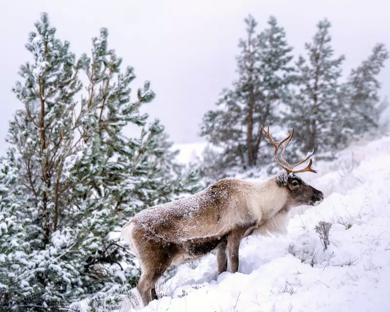
Amid the snowfall, the story of Britain's unique wildlife continues, with the Cairngorm reindeer herd, the nation's only free-ranging reindeer herd, navigating the wintry conditions of the Cairngorm mountains in the Scottish Highlands.