London and much of the UK are set to shiver through a bitter Arctic freeze as the New Year arrives, with the Met Office issuing severe weather warnings for snow and ice that could see temperatures plummet to -8°C and cause significant travel disruption.
Met Office Issues Warnings as Polar Vortex Descends
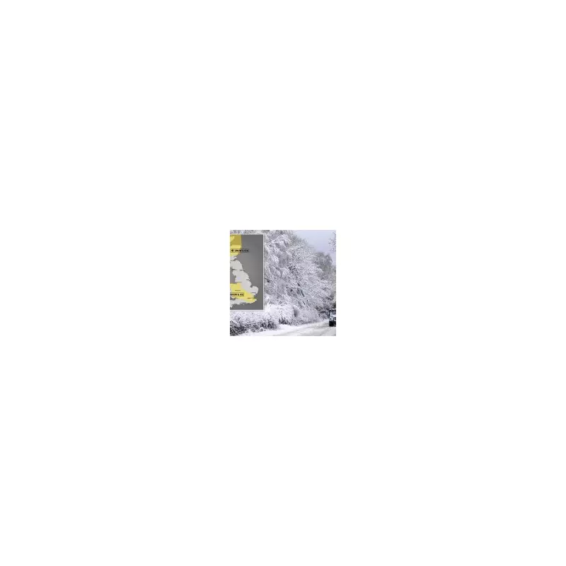
The Met Office has activated a yellow weather warning for snow and ice across vast swathes of the country, with the cold snap expected to intensify through the first week of 2026. Forecaster Jim Dale described the incoming weather system as a "polar vortex dislocation" coming straight from the North Pole, turning the period into "the nightmare after Christmas."
While New Year's Eve will remain largely settled for many, a dramatic change is forecast from Thursday. Arctic air and strong northerly winds will push south, bringing widespread frosts and the first substantial snow of the winter for many regions.

Forecast Details: Snow Accumulation and Record Lows
The cold will be felt nationwide, but some areas will be hit particularly hard. Scotland is braced for temperatures as low as -12°C, with yellow warnings in place from today until Sunday. Wales and northern England could see lows of -7°C inland, with blizzard conditions possible due to strong winds combining with snow.
By Friday morning, the Met Office predicts 2cm to 5cm of snow in many warned areas, including London, with up to 10cm in some local spots. Over higher ground above 200 metres, accumulations could reach 10cm to 20cm. The wintry conditions are forecast to persist until around January 10, starting in Scotland and moving southwards.
If snow reaches southern England, meteorologists suggest it will most likely be around January 4 or 5. The capital itself is expected to see lows of about 1°C on Friday with the risk of snow showers.
Public Health Alerts and Travel Disruption Expected
Alongside the weather warnings, health authorities have issued cold health alerts. The UK Health Security Agency (UKHSA) has an amber cold health alert for the North East and North West of England until January 5, with a yellow alert covering all other English regions.
Dr Agostinho Sousa of the UKHSA urged the public to check on vulnerable neighbours and relatives, noting the serious health risks posed by such low temperatures, including increased chances of heart attacks, strokes, and chest infections.
The Met Office's Deputy Chief Forecaster, Mark Sidaway, advised people to stay updated with forecasts, emphasising that the cold spell will last at least through the first week of January. The combination of snow, ice, and strong winds is expected to lead to significant travel disruption across the country's road and rail networks, despite the potential for wintery scenes of snowmen and sledging.
This sweeping polar air mass will not only affect the UK but is also set to bring severe cold to northern and central Europe in the coming days.