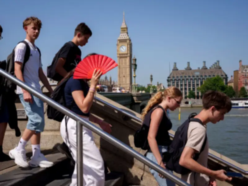
Weather forecasters are predicting further scorching temperatures as we head into next week. A map shared by WX Charts shows that next Tuesday (July 28) thermostats will be hovering around the 29C mark.
Fourth heatwave on the way
This is a continuation of the hot and sticky temperatures we’ve seen recently, especially as London is set to be blasted by its fourth heatwave of the year, according to Jim Dales of the British Weather Services. He told us exclusively that 'the fourth heatwave is on its way'.
Things will 'intensify' from Monday (July 27) onwards, he says, and it could reach a sweltering 34C. The Met Office’s forecast isn’t quite as intense as Mr Dales, but it sure is in-line with WX Chart’s predicting next Tuesday to be a toasty 27C.

Friday's forecast
But it’s tomorrow (Friday, July 24) where the national forecaster really thinks we’ll be warm as we’re set to bask in 29C heat. The BBC however forecasts even higher temperatures with 29C next Tuesday, 30C next Wednesday (July 29), and 28C on the Thursday (July 30).
This is a heatwave, according to The Met Office’s definition, which requires three days of 28C weather or higher.
London weather details
Today (Thursday, July 23) will see varying amounts of cloud, this perhaps thick enough to produce isolated light showers. Still bright or sunny spells will occur, and most places will be dry and warm or very warm with light winds, these onshore along the coast. Maximum temperature 28C.
Whereas dry with often large amounts of cloud, but also clear spells will occur, which may allow patchy mist or fog to form in rural areas later tonight. Minimum temperature 11C.
Tomorrow (Friday, July 24) will see varying, often large amounts, of thin cloud but still bright or sunny spells will occur. Slightly cooler along the coast with onshore winds, becoming very warm or locally hot inland. Maximum temperature 30C.
Weekend outlook
Saturday (July 25) to Monday (July 27) will be tumultuous, however. It will be a dry and bright Saturday, very warm or locally hot. Sunday outbreaks of rain clearing then scattered showers, and feeling noticeably cooler. Monday generally dry, sunny spells and temperatures near normal.