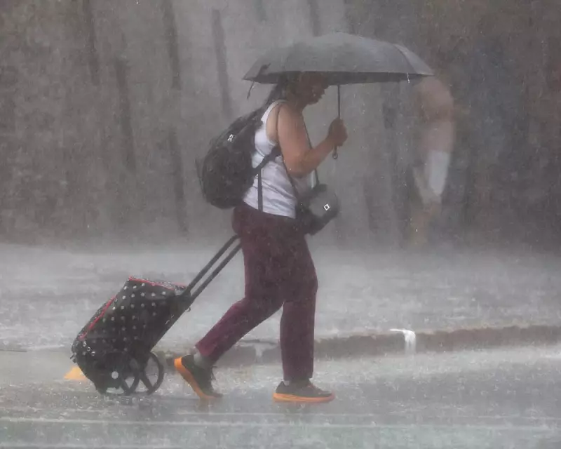
The state of Queensland is on high alert as meteorologists warn of a prolonged and intense deluge set to drench northern regions for several days. The Bureau of Meteorology (BoM) has issued severe weather and flood warnings, with some areas forecast to receive a staggering up to 500 millimetres of rainfall over the coming week.
Severe Warnings Issued as Systems Intensify
A broad and almost stationary weather system is driving the extreme conditions, expected to impact Queensland for at least the next three to four days. BoM senior meteorologist Andrea Peace confirmed the system is gradually intensifying. Parts of the Gulf region, including Mount Isa, have already seen 30 to 80mm in the past 24 hours, with isolated pockets receiving up to 120mm. These same areas could see a further 100mm on Sunday alone.
Peace stated that seeing totals in excess of 500mm broadly across the region this week is not out of the question. The situation is being compared to the devastating 2019 Townsville floods, raising significant concerns for inland flooding and community safety.

Livestock at Risk and Emergency Preparations
The potential for massive flooding has put the region's agricultural sector, particularly livestock, in grave danger. Queensland police minister Dan Purdie confirmed the state disaster coordinator has been preparing for this event for the past week.
"The biggest concern in north-west Queensland is livestock and fodder, and the plan is in place to drop fodder [if roads are cut off]," Purdie said. Specific flood warnings are active, including a moderate flood warning for the town of Winton, where the Diamantina River is expected to flood on Sunday. A longer-term major flood warning is also in place for Walkers Bend for the Flinders and Cloncurry catchments, with flooding expected in Cloncurry today.
Second System Threatens Coastal Communities
Compounding the crisis, a second weather system is bearing down on the coastal belt around Townsville and Cairns, which has already recorded approximately 100mm in the past day. The BoM anticipates this area will receive an additional 60 to 80mm today, with isolated pockets potentially seeing up to 200mm.
The rain is forecast to intensify further on Monday, with widespread totals of 70 to 120mm and some locations experiencing 300mm or more. Peace indicated that flood warnings are likely for areas north of Townsville, specifically around the Bohle River. The wild weather is fuelled by a combination of a monsoon trough inland and a monsoon low offshore, both supercharged by very high sea surface temperatures. The BoM predicts the rain will continue all week before slackening off later in the week.