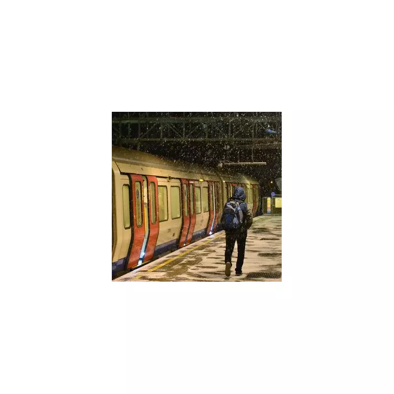
Londoners have woken up to a biting New Year cold snap, with many asking if the capital will finally see significant snowfall. The Met Office has confirmed there is a small but genuine risk of snow for London, particularly as colder air moves south later this week.
Yellow Warning Issued for Snow and Ice
The national forecaster has taken the step of issuing a yellow weather warning for snow and ice. This alert is active from midnight on Friday, January 2nd, until noon, covering a vast swathe of England from Manchester down to London and Kent.
Some areas within the warning zone could see accumulations of up to 5cm of snow. The public is being urged to prepare for potential disruption, including longer journey times on roads, buses, and trains. There is also a heightened risk of injuries from slips and falls on icy surfaces, which may form rapidly after sleet or snow clears.

Detailed Forecast for the Capital
After a milder Thursday, temperatures are set to plunge. Overnight into Friday will see temperatures drop to freezing, with daytime highs struggling to reach around 3°C. The weekend will turn even colder, with most of Saturday and Sunday seeing temperatures of just 1°C to 2°C, and overnight lows dipping to -3°C in the early hours.
The cold is expected to persist into the following week. Tuesday, January 6th, and Wednesday, January 7th, currently carry the highest risk of snow showers for London, with any snow on Wednesday likely to turn to sleet later in the day.
London Day-by-Day Weather Guide
Thursday, January 1: Sunny intervals and a gentle breeze. Max: 6°C.
Friday, January 2: Some sunshine. Overnight low below -1°C. Max: 5°C.
Saturday, January 3: Crisp with a gentle breeze. Max: 3°C.
Sunday, January 4: Light winds and gentle sunshine. Max: 3°C.
Monday, January 5: Sunny with light winds. Max: 3°C.
Tuesday, January 6: Light snow and light winds. Max: 4°C.
Wednesday, January 7: Snow turning to sleet, light winds. Max: 5°C.
What the Forecasters Say
A Met Office spokesperson explained the broader picture: "Cold northerly winds dominating across the UK in the first week of January will bring wintry showers, often of snow, to many exposed coastlines and inland areas."
They added: "Into the new week, more coherent bands of precipitation will attempt to move in from the west, with a risk of further snow on the leading edge before potentially turning to rain." While widespread, disruptive snowfall is not currently the most likely scenario, the forecaster stresses that the risk of snow for London is a real one as this cold spell takes hold.