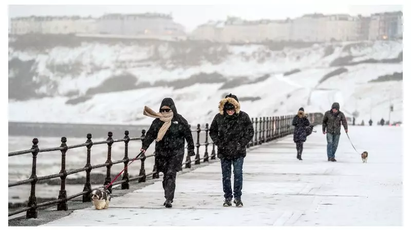
A severe Arctic weather front has plunged the UK into a deep freeze, triggering widespread travel disruption, the closure of hundreds of schools, and a slew of official warnings as snow, sleet, and hail batter the country.
Widespread Warnings and Record Lows
The Met Office has issued a complex web of yellow warnings for snow and ice covering the whole of Scotland, Northern Ireland, and northern England on Monday, 5 January 2026. Additional alerts have been extended to eastern England, west Wales, Devon, and Cornwall.
This follows a bitterly cold night where temperatures plummeted to minus 10.9C in Shap, Cumbria, with a staggering 52cm of snow recorded in Banffshire, Scotland. Furthermore, an amber cold weather health alert for all English regions is active until Friday, highlighting risks to public health.

Met Office Chief Meteorologist, Matthew Lehnert, stated that the nation should brace for a week of winter hazards. "The UK will continue to experience a range of winter weather hazards through this week, with low temperatures as well as snow showers and the risk of ice for many," he said.
Transport Network in Turmoil
The wintry onslaught has severely impacted travel nationwide. In aviation, Loganair cancelled flights from Aberdeen and Inverness airports due to heavy snow. Liverpool John Lennon Airport's runway was temporarily closed, while both City of Derry Airport and Belfast International reported numerous cancellations and delays.
Rail services are also suffering. National Rail has warned of disruptions to train services in northern Scotland until at least the end of Tuesday. Internationally, Eurostar advised passengers on routes between London and the Netherlands to delay Monday travel, as services cannot proceed beyond Brussels due to severe conditions in the Netherlands.
Road users are facing equal challenges, with the AA reporting a 40% spike in call-outs compared to a typical Monday.
Further Snow and Hazardous Outlook
The immediate forecast warns of continued peril. Overnight into Tuesday, temperatures are expected to drop below zero across much of the UK, with areas of lying snow potentially seeing lows of around -12C.
A further 2-5cm of snow is expected widely, with some higher ground above 200 metres potentially seeing an additional 10-15cm. A new snow and ice warning is in effect from just north of Glasgow down to northern England from midnight to 11am on Tuesday, with a separate ice warning for Northern Ireland.
Looking further ahead, the weather threat is set to evolve. Deputy Chief Meteorologist Mike Silverstone indicated that strong winds and heavy rain later in the week could create new hazards. "The most likely scenario at this stage is for low pressure to track near the south coast," he said, emphasising the need for the public to stay updated with the latest forecasts as the situation develops.